Tampa
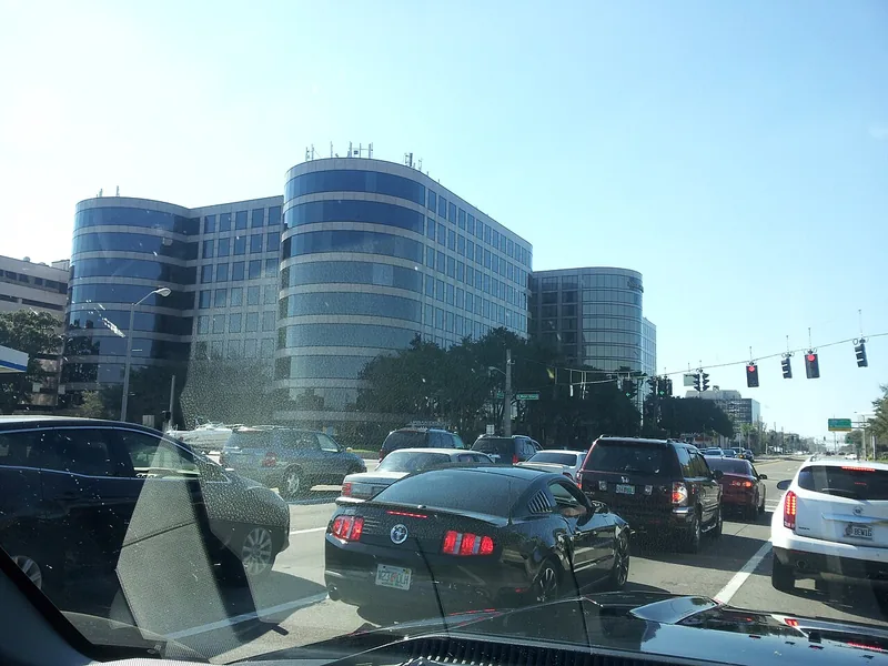
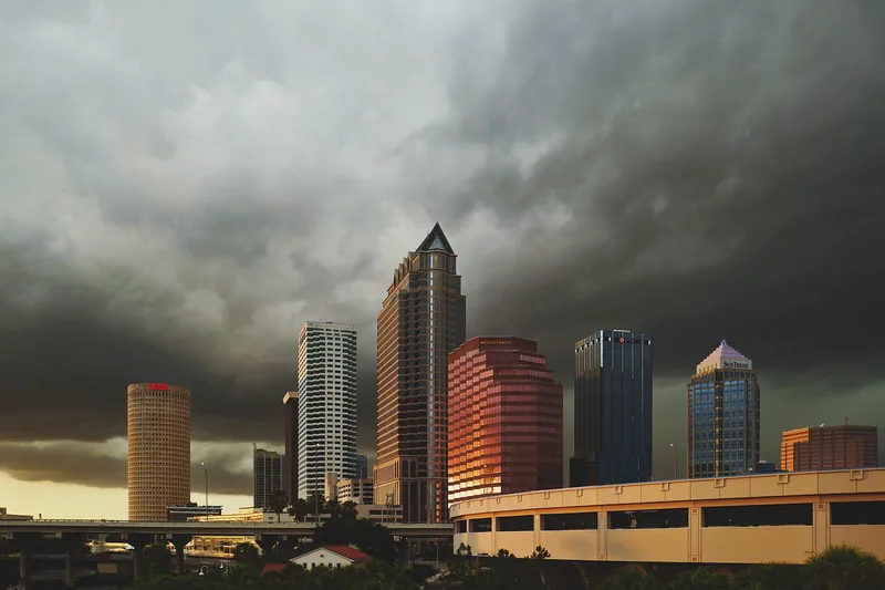
Tampa combines Downtown, Westshore and the University of South Florida area with many distinct residential neighborhoods. These employment centers connect to different local business corridors and community services.
Find a place to explore, then look closer at the streets, local resources and everyday connections that give it character.
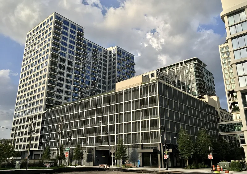
Tampa combines Downtown, Westshore and the University of South Florida area with many distinct residential neighborhoods. These employment centers connect to different local business corridors and community services.
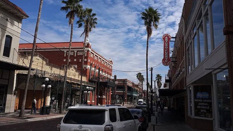
Use Seventh Avenue as one starting point, then decide whether your visit is about history, dining or an evening program.
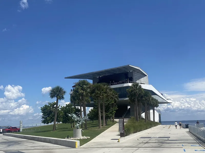
St. Petersburg rewards a plan built around one district: the Tampa Bay waterfront, Central Avenue or a particular residential neighborhood. Public parks, cultural attractions and transit provide different ways to explore the city.
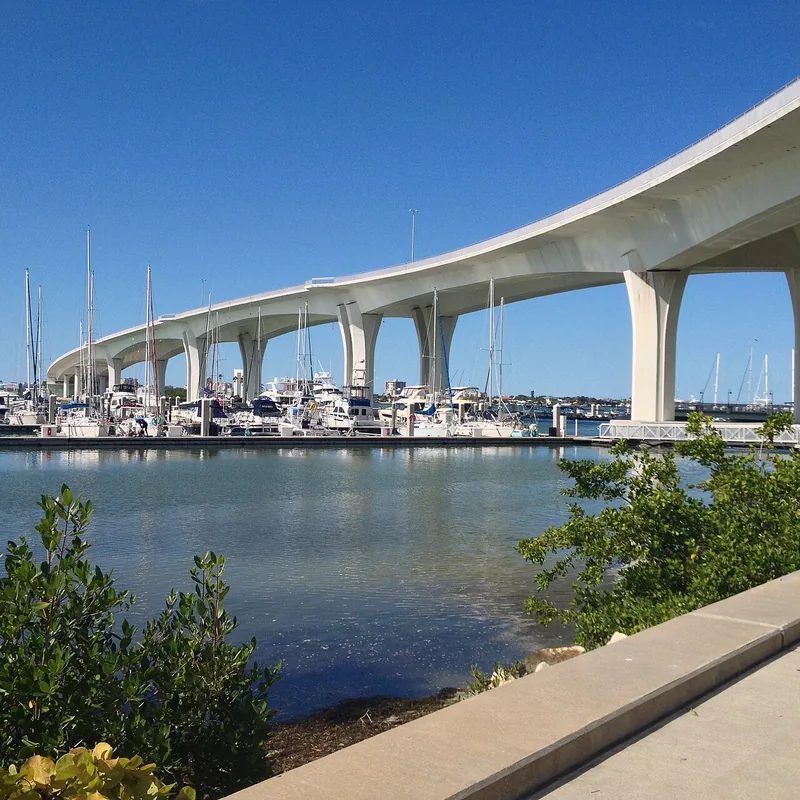
Clearwater’s downtown waterfront, Gulf beach and inland corridors serve different purposes. Coachman Park provides a practical mainland starting point, with a separate plan needed for the beach or another part of the city.
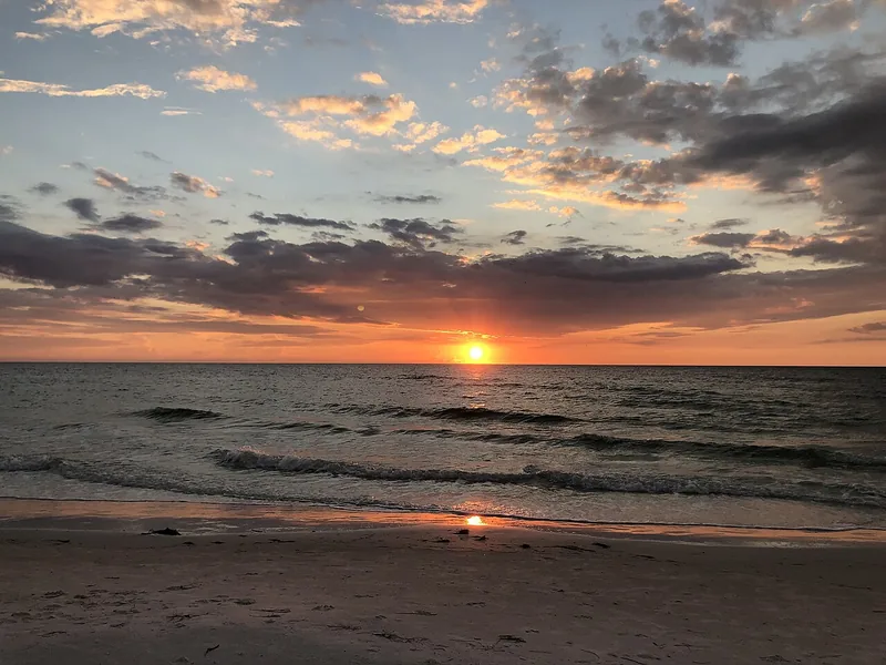
Clearwater Beach offers Gulf shoreline, Beach Walk and the Pier 60 area. Pick a public access point, check current parking and leave space in the plan for the journey back.
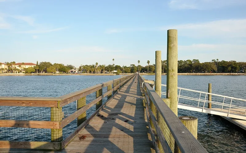
Dunedin combines a downtown crossed by the Pinellas Trail with waterfront parks and a recovering municipal marina. Keep a downtown walk separate from assumptions about boat-ramp, pier or dock access.
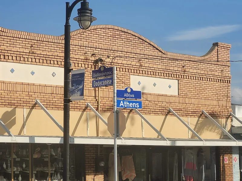
Tarpon Springs has several distinct destinations: the Sponge Docks, historic downtown and Spring Bayou. Build a visit around one cluster, then add another with a deliberate route and time allowance.
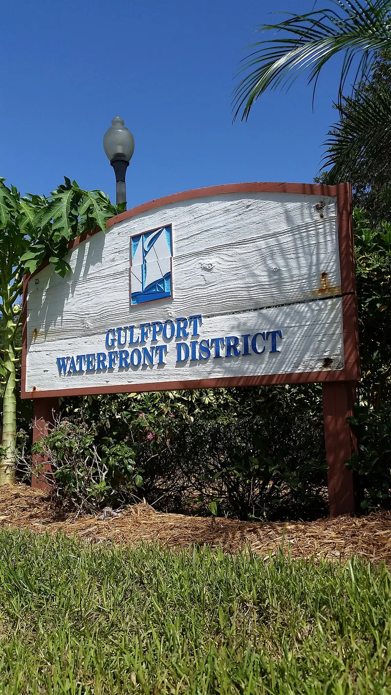
Gulfport’s Boca Ciega Bay waterfront, Beach Boulevard and 49th Street area offer different ways to spend time locally. Parks and the city’s recreation and cultural calendars provide useful starting points.
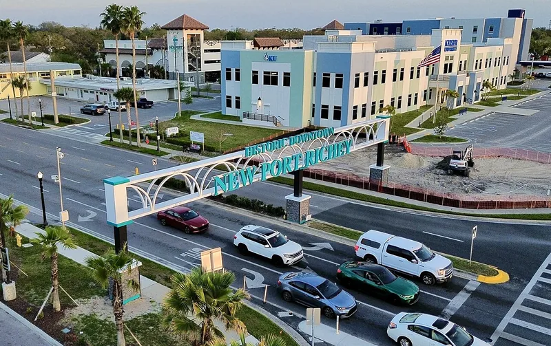
New Port Richey’s identity centers on its historic downtown, Main Street and the Pithlachascotee River. Sims Park, cultural venues and independent businesses are destinations within the city itself.
Dade City is an incorporated municipality in eastern Pasco County. Its municipal website provides city services, public meetings and local development information.
Wesley Chapel is an unincorporated Census-designated community in Pasco County. The official Census map provides its statistical boundary, which can differ from postal labels and nearby city limits.
Keep the residential neighborhood, historic-designation boundaries and the Hyde Park Village commercial destination distinct.
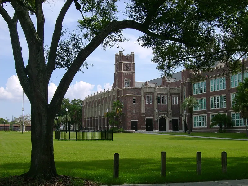
Seminole Heights is a broader place identity with several neighborhood associations.
Westshore is a major named business district in Tampa’s planning framework.
Temple Terrace pairs Hillsborough River parks with a planned-city history shaped by orange groves and golf. Riverhills Park and Woodmont Park make useful anchors for exploring this separate Hillsborough County city.
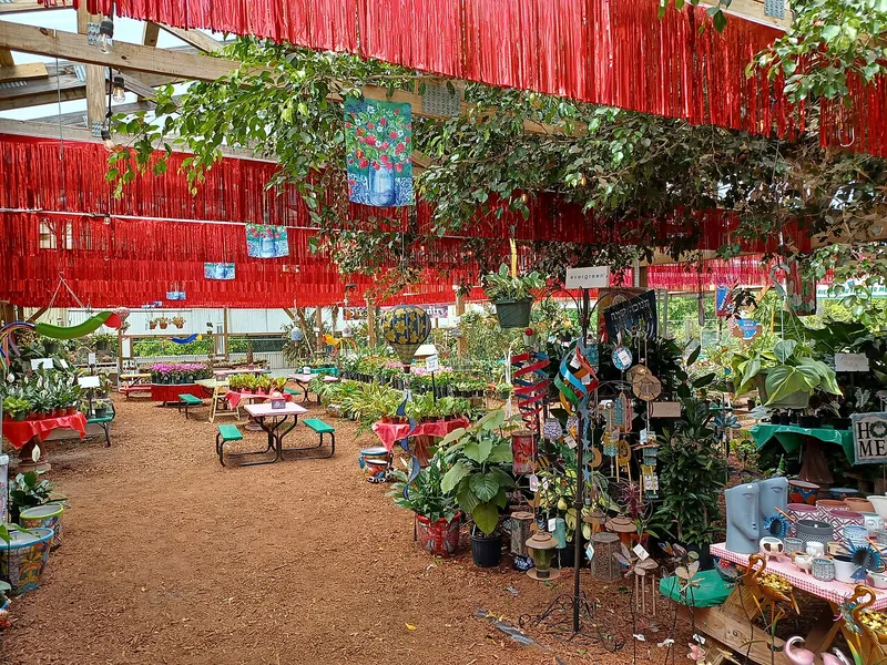
Plant City offers a downtown railroad outing and a separate farm-market stop. The Union Station Depot, Robert W. Willaford Railroad Museum and Parkesdale Farm Market reveal different parts of the city’s identity.
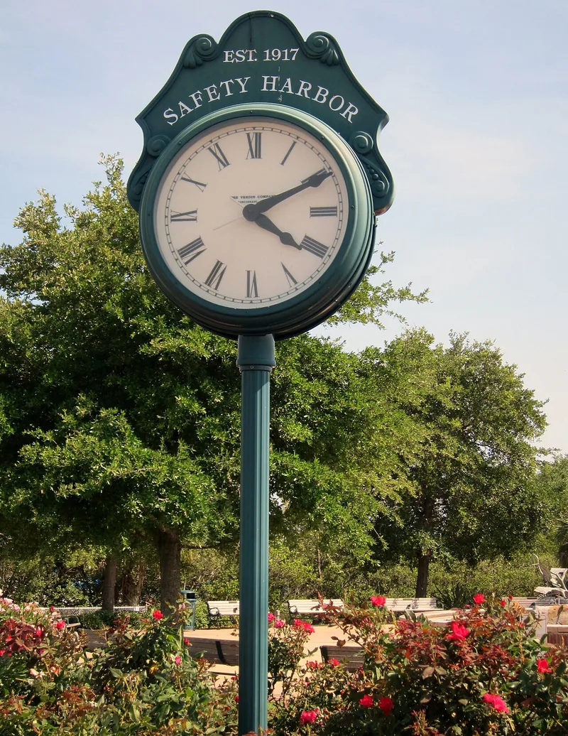
Safety Harbor brings Main Street public art, a bayfront park and Tocobaga history into one city. Check the city’s current marina project notice when planning a waterfront outing.
Zephyrhills combines Fifth Avenue’s downtown businesses with a restored railroad depot, a lakeside park and a museum tied to its wartime airfield. Each gives a different reason to explore eastern Pasco County.
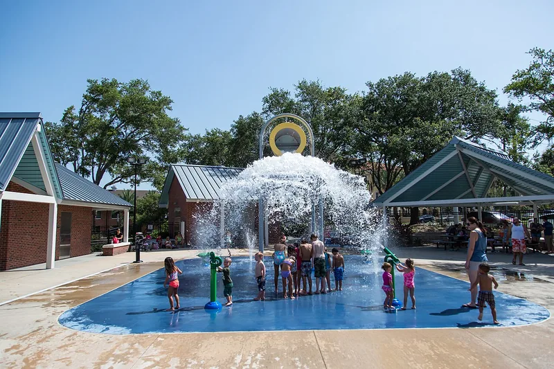
Davis Islands combines a 1920s island-building story with a village shopping area, a historic public pool and a separate dog-beach destination. Plan around the particular street, facility and public access you need.
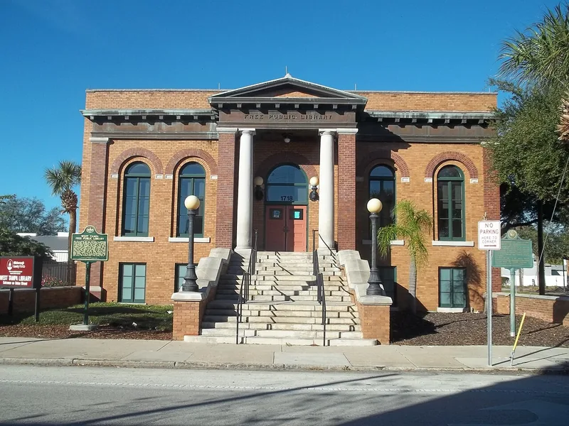
Explore Old West Tampa through the Main Street and Howard Avenue commercial core, its Carnegie-era library and the neighborhood’s connection to cigar-making and community life. Check current park construction before planning a recreation stop.
Tampa Heights connects older residential streets with Water Works Park, a restored spring and Armature Works on the Hillsborough River. Distinguish the neighborhood, historic districts and riverfront redevelopment area when exploring or researching an address.
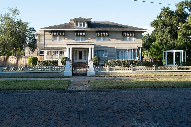
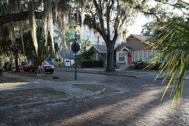
Old Northeast brings residential architecture, brick streets and Tampa Bay’s public shoreline close together. Explore it through a short neighborhood walk, North Shore Park and the resources of its long-running neighborhood association.
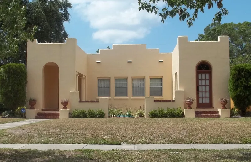
Historic Kenwood combines bungalow architecture, Seminole Park and an active arts community. Its association, historic districts and neighboring business destinations play different roles, so choose the right resource for the visit or project you have in mind.
Historic Uptown centers neighborhood life around Round Lake, residential streets and nearby small-business corridors. Its volunteer association offers a practical way to follow local meetings, cleanups and community events just north of downtown St. Petersburg.
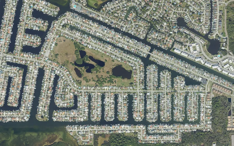
A canal-side residential community where the civic association, private beach club and neighborhood-park service area have different roles and access rules.
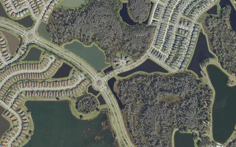
A residential community with distinct resident organizations and useful public destinations along Lake Blanche Drive, including the county park and library cultural center.
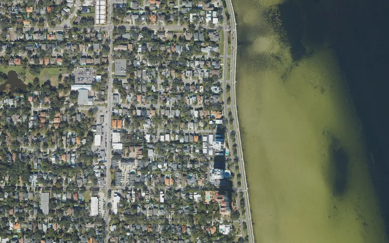
A South Tampa neighborhood beside Hillsborough Bay, with residential streets behind Bayshore Boulevard and useful connections toward MacDill Avenue and Gandy Boulevard. Make a waterfront outing and an everyday errand two deliberate parts of the plan.
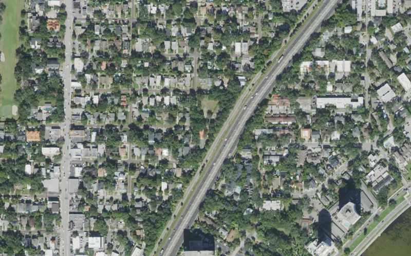
Brick streets, a small public park and neighborhood-serving commercial roads give Palma Ceia several useful starting points. Distinguish Palma Ceia Park from similarly named parks, clubs and nearby neighborhood areas.
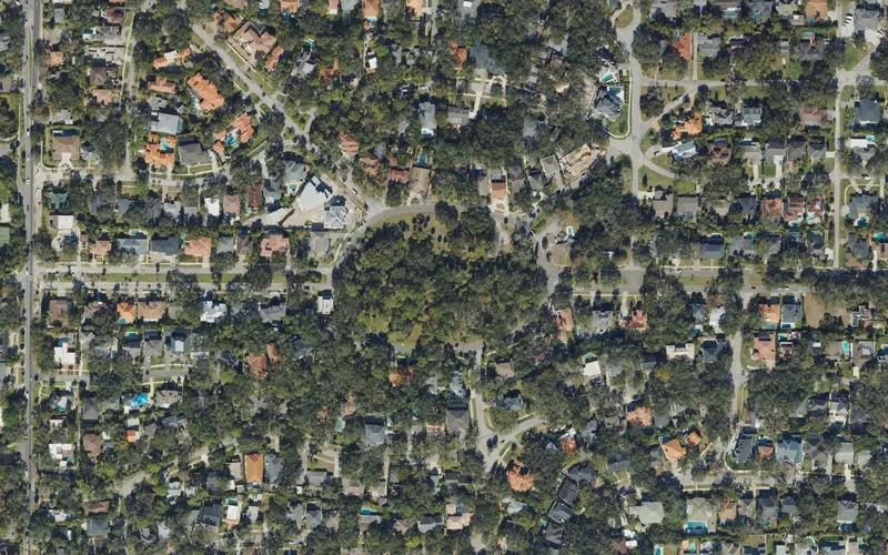
Beach Park’s winding streets and large oaks lead toward Old Tampa Bay, with Swann Circle Park as a specific public landmark. Its name does not by itself establish a public bathing beach or access to private waterfront property.
Use Carrollwood Village Park as a public starting point, then distinguish the broader Carrollwood name from the Census area and the separate resident organizations of Original Carrollwood and Carrollwood Village.
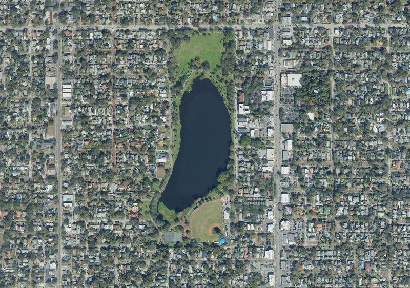
Crescent Lake pairs a residential neighborhood with a substantial public park, a historic baseball setting and active community groups. Check individual court notices and program registration before turning a park outing into a sports plan.
Snell Isle’s residential streets, ornamental landmarks and small public parks create a different outing from downtown’s waterfront attractions. Use a named park for orientation and check the operator before planning access to privately managed facilities.
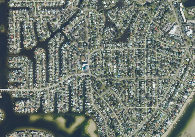
Shore Acres has a residential setting supported by a substantial city recreation campus and a civic association. Plan around the particular pool, playground, gym or program you want, because their access and schedules differ.
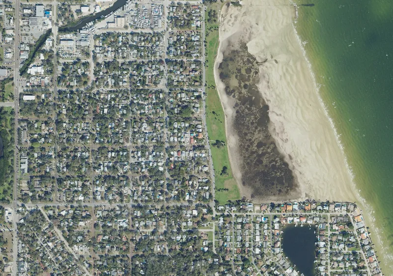
Old Southeast combines Lassing Park’s bayfront green space, distinctive residential streets and a neighborhood arts community. The park is a place for a shoreline outing; the city expressly prohibits swimming at its beach.
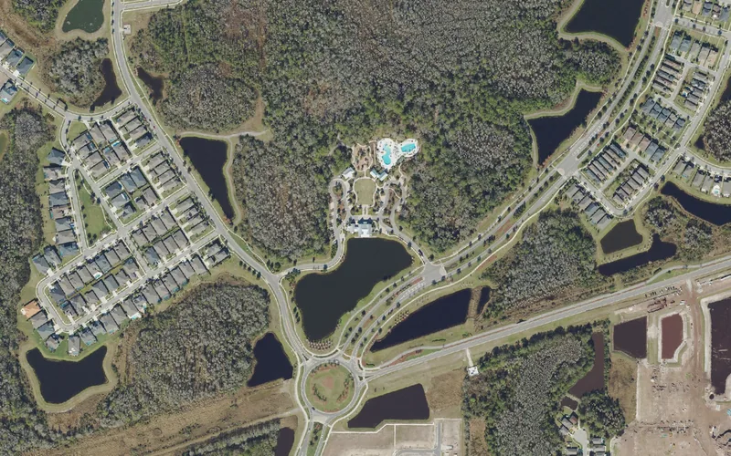
A planned residential community where the clubhouse, district government, homeowner association and school-address checks each have a different role.
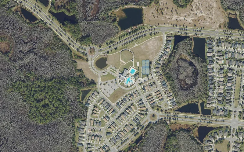
A residential community with distinct East and West district resources, a clubhouse meeting landmark and a nearby public preserve that has its own entrance and rules.
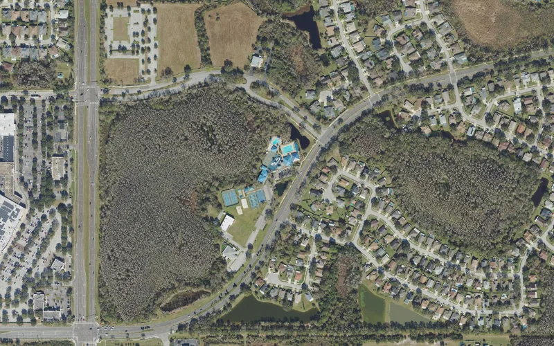
A residential-community name spanning separately managed phases, where the correct district, clubhouse and school-address search matter more than a broad Wesley Chapel label.
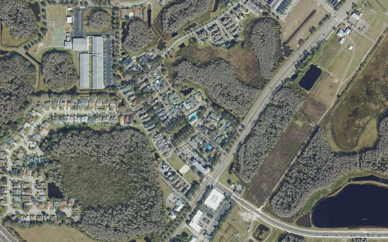
A residential community with a neighborhood association, CDD Town Hall and practical rules for gatherings, parking and school-day travel.
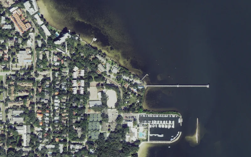
Ballast Point pairs a historic waterfront park with South Tampa residential streets. Plan around the park’s current hurricane-repair notices and the separate destinations nearby.
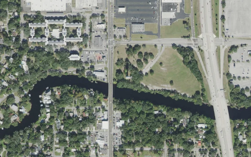
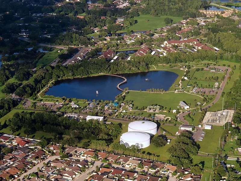
Sulphur Springs connects a distinctive water tower and river landscape with a long resort history. Explore the public parks while keeping the closed swimming pool out of the plan.
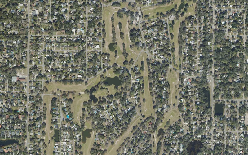
Forest Hills combines a historic municipal golf course with a neighborhood recreation center. Check the precise address, program and jurisdiction behind the broader north Tampa name.
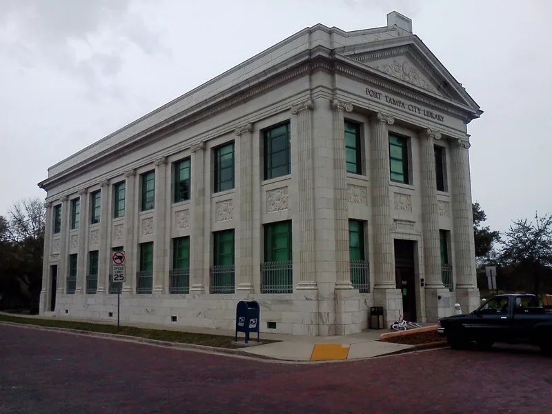
Port Tampa City connects railroad and maritime history with a landmark library and western-bay parks. It is a Tampa neighborhood, distinct from today’s Port Tampa Bay authority.
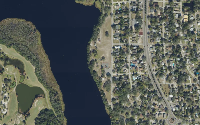
Temple Crest follows a bend of the Hillsborough River in Tampa. Its park, recreation center and 40th Street connections offer a starting point distinct from nearby Temple Terrace.
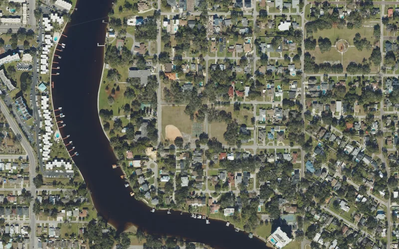
Riverside Heights brings residential streets and public parks to the east side of the Hillsborough River. Use named park access and keep nearby Tampa Heights and the west bank distinct.
Harbour Island connects waterfront residences and businesses to downtown across Garrison Channel. Choose the bridge and destination carefully, and keep public routes separate from private amenities.
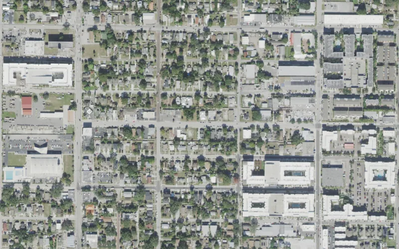
North Hyde Park links older homes and former industrial streets with changing businesses west of downtown. Explore Howard Avenue and Cass Street while checking current crossings and access.
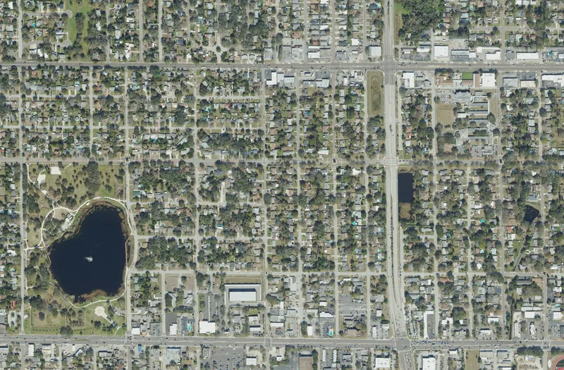
Skycrest offers a mainland Clearwater neighborhood outing around Crest Lake Park, residential streets and a school history that reaches back to the area’s farm-to-suburb transition.
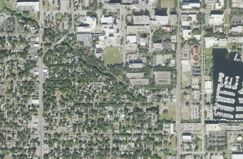
Historic Roser Park pairs Booker Creek, distinctive streets and an outdoor history route close to downtown St. Petersburg. Plan a compact walk and respect the homes along it.
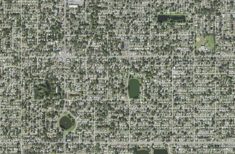
Disston Heights combines residential streets, local commercial routes and the Gladden Park recreation campus. Use a specific park, class or everyday destination to explore the area.
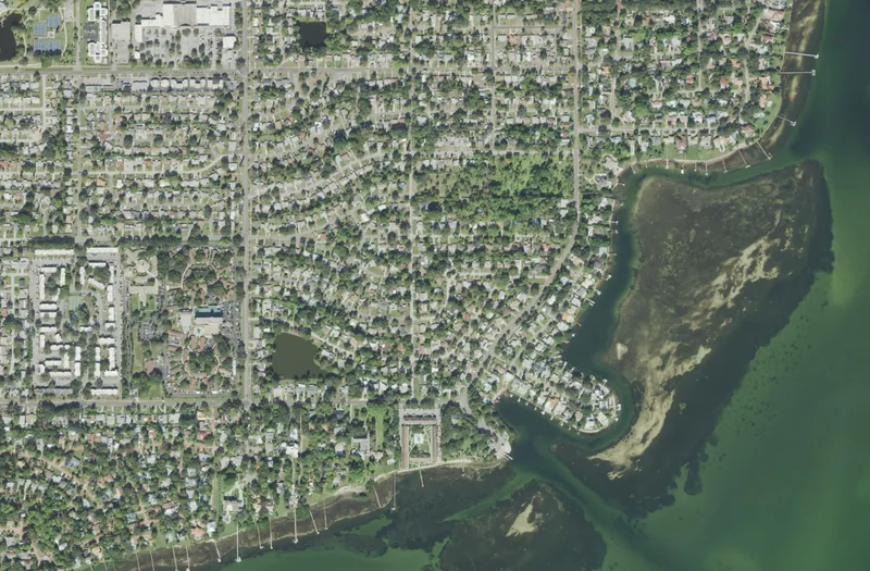
Greater Pinellas Point offers south St. Petersburg waterfront parks, residential streets and Indigenous-history interpretation. Pick a specific public park before planning the day.
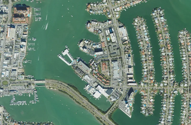
Island Estates combines canal-side homes, condominium buildings and visitor destinations off Clearwater’s causeway. Separate neighborhood exploring, public boat slips and an aquarium visit.
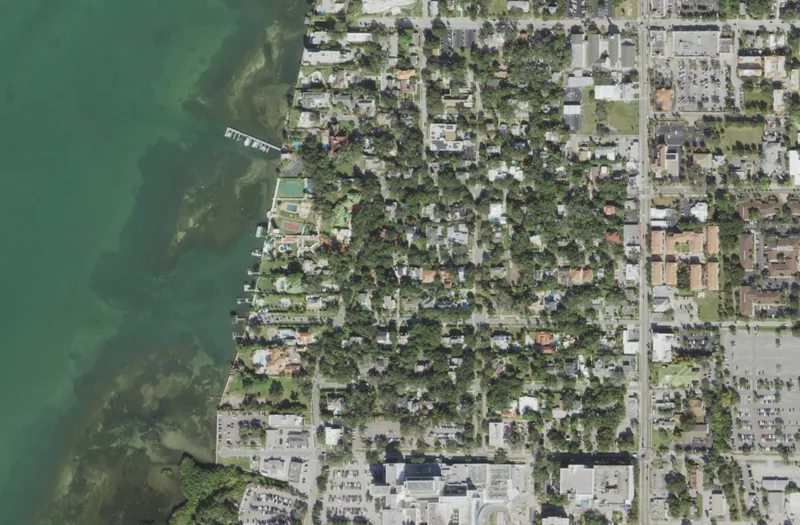
Harbor Oaks connects Clearwater’s residential bluff streets with a public dock and local history. Start at Magnolia Drive, then explore a short public-street route with care.
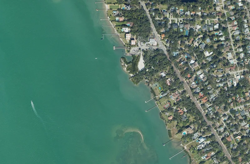
Jungle Prada offers a west St. Petersburg waterfront park and a nearby heritage visit with separate access arrangements. Plan public-park time and a guided site visit independently.
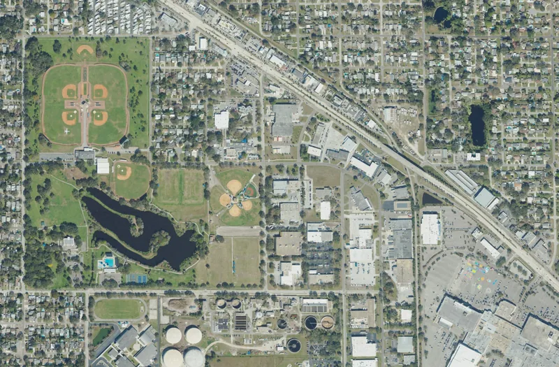
Jungle Terrace brings together residential streets, Walter Fuller Park and a local lake-restoration story. Choose the right park facility, then plan the surrounding neighborhood journey.
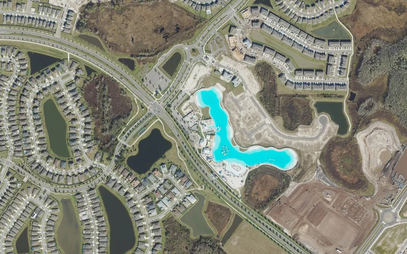
A lagoon-centered residential community where Epperson South gate procedures, separate district governments and the lagoon operator answer different questions.
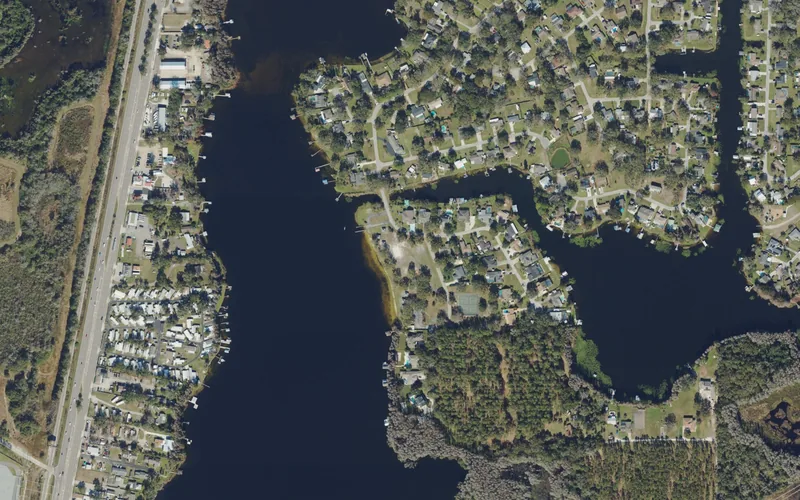
A lake-oriented residential community with an independent special district, resident park access and a separate voluntary civic association.
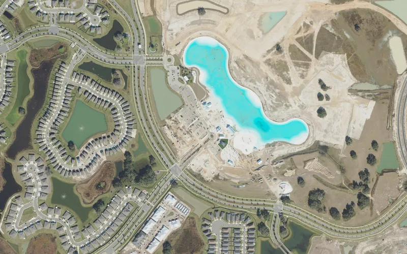
A planned residential community with a large ticketed lagoon destination, separate district governments and homeowner resources that should be checked by address.
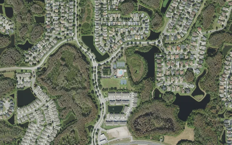
A residential community centered on a district clubhouse, with master and sub-association responsibilities that differ by property and service.
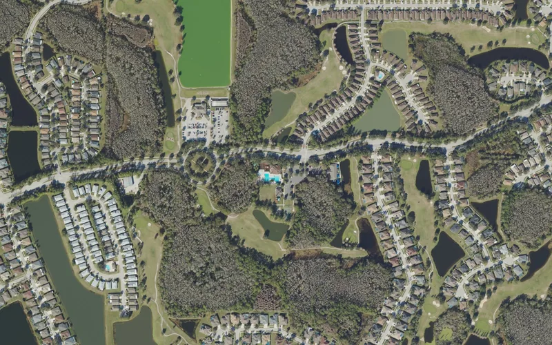
A golf-landscape residential community with a separately operated golf club, district recreation facilities and a community-center rental process.
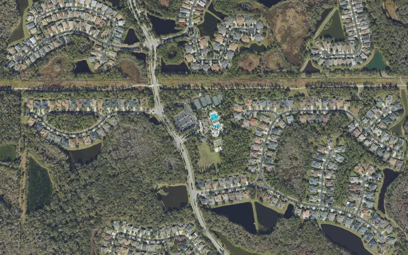
A planned residential community with a substantial clubhouse complex, distinct property-owner and district roles, and amenity-specific entry and booking arrangements.
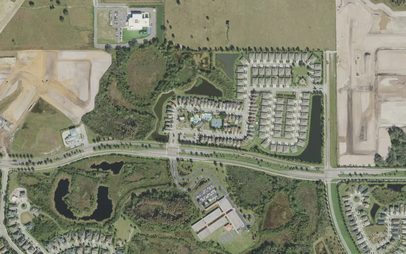
A planned residential community with neighborhood parks, wetland landscape and two district governments sharing a recognizable clubhouse landmark.
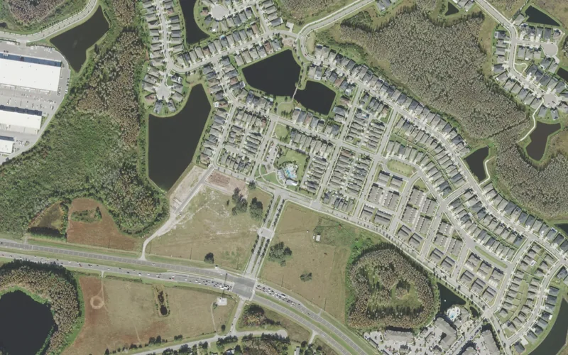
A planned Odessa-address community with a clubhouse on Promenade Parkway, separate property-owner responsibilities and useful current district notices.
City limits, Census communities and association boundaries serve different purposes. Use the record type and official source when checking a particular address. Detailed local editions continue to be added.
592 results
Belleair is a residential town with its own municipal services, recreation center and permitting office. The historic Belleview Inn and waterfront setting are part of its local character.
Official local source ↗Belleair Beach is primarily a residential waterfront community in Pinellas County. Its municipal website provides local services and community information.
Official local source ↗Belleair Bluffs is a compact municipality whose commercial and professional businesses also serve nearby communities. Local shopping and daily services are central to its business mix.
Official local source ↗Belleair Shore is a residential town of private homes with no local commercial district. Dining, shopping and medical services are in neighboring communities.
Official local source ↗Clearwater combines beach tourism with finance, software, cybersecurity, life sciences and manufacturing. Downtown, Clearwater Beach and the US 19 corridor serve different local and visitor needs.
Official local source ↗Read Clearwater →Read Clearwater Beach →Dade City is an incorporated municipality in eastern Pasco County. Its municipal website provides city services, public meetings and local development information.
Official local source ↗Read Dade City →Dunedin’s walkable downtown connects small businesses, waterfront activity and a municipal marina. The city also has a major spring-training facility and an established arts community.
Official local source ↗Read Dunedin →Gulfport’s waterfront, restaurants and arts activity anchor its local identity. Its waterfront and 49th Street areas are separate business destinations.
Official local source ↗Read Gulfport →Indian Rocks Beach combines beachfront neighborhoods with visitor accommodation and local businesses. Its Business District Triangle is a separate focus of commercial planning.
Official local source ↗Indian Shores combines a coastal residential setting with seasonal residents, restaurants and independent local businesses.
Official local source ↗Kenneth City is a small, largely residential municipality with independent and chain retail and service businesses. Town parks provide local recreation within its compact footprint.
Official local source ↗Largo sits in central Pinellas with industrial and office employers as well as a downtown around West Bay Drive. Parks and community events are part of its everyday local character.
Official local source ↗Madeira Beach combines John’s Pass Village and Boardwalk with a separate town-center area and beach neighborhoods.
Official local source ↗New Port Richey’s identity centers on its historic downtown, Main Street and the Pithlachascotee River. Sims Park, cultural venues and independent businesses are destinations within the city itself.
Official local source ↗Read New Port Richey →North Redington Beach blends waterfront residential streets with visitor-oriented commercial and recreational uses.
Official local source ↗Oldsmar combines office and industrial employers in information technology, manufacturing and aerospace with trails and parks. Its Town Center is separate from its larger employment areas.
Official local source ↗Pinellas Park is an industrial employment center with marine and manufacturing businesses. The US 19 corridor and designated equestrian areas are distinct parts of the city.
Official local source ↗Plant City has an established downtown and a separate Midtown redevelopment area immediately to its south. The city’s comprehensive plan maps these areas and explains their different roles.
Official local source ↗Read Plant City →Port Richey is a separate municipality in western Pasco County. Its municipal website provides city services and public meetings for properties within the city limits.
Official local source ↗Redington Beach is primarily residential, with town parks and public beach-access points supporting local recreation.
Official local source ↗Redington Shores combines residential coastal streets with beaches, boating, fishing and parks.
Official local source ↗Safety Harbor’s downtown and Main Street support local shops, restaurants and professional services near the historic resort and spa. Healthcare and compact employment areas are also part of the city.
Official local source ↗Read Safety Harbor →San Antonio is a separate municipality in eastern Pasco County, near Saint Leo. Its municipal website provides local services and public meeting information.
Official local source ↗Seminole is a largely residential Pinellas city with access to the Pinellas Trail and nearby outdoor destinations. The incorporated city and surrounding unincorporated areas share the Seminole name.
Official local source ↗South Pasadena sits between St. Petersburg, Gulfport and St. Pete Beach. Pasadena Avenue and Gulfport Boulevard support its shops, offices, restaurants and medical practices.
Official local source ↗Saint Leo sits in eastern Pasco along County Road 52 between San Antonio and Dade City. Its Benedictine heritage and educational setting are part of its distinct local identity.
Official local source ↗St. Pete Beach includes Gulf Boulevard visitor businesses and a distinct downtown district alongside its residential areas.
Official local source ↗St. Petersburg combines a waterfront downtown with marine science, life sciences, finance, data analytics and specialized manufacturing. Its local business districts sit within a much larger city of residential neighborhoods.
Official local source ↗Read St. Petersburg →Tampa combines Downtown, Westshore and the University of South Florida area with many distinct residential neighborhoods. These employment centers connect to different local business corridors and community services.
Official local source ↗Read Tampa →Tarpon Springs brings together the working Sponge Docks waterfront, Greek heritage and a downtown of galleries and antique shops. Marine businesses are part of its economy alongside visitor destinations.
Official local source ↗Read Tarpon Springs →Temple Terrace is a separate Hillsborough River city near the University of South Florida and Florida College. Its official redevelopment page explains the City Center and downtown planning area.
Official local source ↗Read Temple Terrace →Treasure Island’s beach community combines accommodation, dining and a recognizable traditional coastal character.
Official local source ↗Zephyrhills has an established downtown around historic 5th Avenue and adjacent streets. Main Street Zephyrhills provides a directory and current district event information.
Official local source ↗Read Zephyrhills →Apollo Beach is an unincorporated Census-designated community in Hillsborough County. The official Census map provides its statistical boundary, which can differ from postal labels and nearby city limits.
Official local source ↗Aripeka is a coastal Census-designated community spanning Pasco and Hernando counties. The Pasco portion is included in Tampa Authority’s core area.
Official local source ↗Balm is an unincorporated Census-designated community in Hillsborough County. The official Census map provides its statistical boundary, which can differ from postal labels and nearby city limits.
Official local source ↗Bardmoor is an unincorporated Census-designated community in Pinellas County. The official Census map provides its statistical boundary, which can differ from postal labels and nearby city limits.
Official local source ↗Bay Pines is an unincorporated Census-designated community in Pinellas County. The official Census map provides its statistical boundary, which can differ from postal labels and nearby city limits.
Official local source ↗Bayonet Point is an unincorporated Census-designated community in Pasco County. The official Census map provides its statistical boundary, which can differ from postal labels and nearby city limits.
Official local source ↗Beacon Square is an unincorporated Census-designated community in Pasco County. The official Census map provides its statistical boundary, which can differ from postal labels and nearby city limits.
Official local source ↗Bear Creek is an unincorporated Census-designated community in Pinellas County. The official Census map provides its statistical boundary, which can differ from postal labels and nearby city limits.
Official local source ↗Bloomingdale is an unincorporated Census-designated community in Hillsborough County. The official Census map provides its statistical boundary, which can differ from postal labels and nearby city limits.
Official local source ↗Brandon is an unincorporated Census-designated community in Hillsborough County. The official Census map provides its statistical boundary, which can differ from postal labels and nearby city limits.
Official local source ↗Carrollwood is an unincorporated Census-designated community in Hillsborough County. The official Census map provides its statistical boundary, which can differ from postal labels and nearby city limits.
Official local source ↗Read Carrollwood →Cheval is an unincorporated Census-designated community in Hillsborough County. The official Census map provides its statistical boundary, which can differ from postal labels and nearby city limits.
Official local source ↗Citrus Park is an unincorporated Census-designated community in Hillsborough County. The official Census map provides its statistical boundary, which can differ from postal labels and nearby city limits.
Official local source ↗Connerton is an unincorporated Census-designated community in Pasco County. The official Census map provides its statistical boundary, which can differ from postal labels and nearby city limits.
Official local source ↗Crystal Springs is an unincorporated Census-designated community in Pasco County. The official Census map provides its statistical boundary, which can differ from postal labels and nearby city limits.
Official local source ↗Dade City North is an unincorporated Census-designated community in Pasco County. The official Census map provides its statistical boundary, which can differ from postal labels and nearby city limits.
Official local source ↗Dover is an unincorporated Census-designated community in Hillsborough County. The official Census map provides its statistical boundary, which can differ from postal labels and nearby city limits.
Official local source ↗East Lake is an unincorporated Census-designated community in Pinellas County. The official Census map provides its statistical boundary, which can differ from postal labels and nearby city limits.
Official local source ↗East Lake-Orient Park is an unincorporated Census-designated community in Hillsborough County. The official Census map provides its statistical boundary, which can differ from postal labels and nearby city limits.
Official local source ↗Egypt Lake-Leto is an unincorporated Census-designated community in Hillsborough County. The official Census map provides its statistical boundary, which can differ from postal labels and nearby city limits.
Official local source ↗Elfers is an unincorporated Census-designated community in Pasco County. The official Census map provides its statistical boundary, which can differ from postal labels and nearby city limits.
Official local source ↗Feather Sound is an unincorporated Census-designated community in Pinellas County. The official Census map provides its statistical boundary, which can differ from postal labels and nearby city limits.
Official local source ↗Fish Hawk is an unincorporated Census-designated community in Hillsborough County. The official Census map provides its statistical boundary, which can differ from postal labels and nearby city limits.
Official local source ↗Gibsonton is an unincorporated Census-designated community in Hillsborough County. The official Census map provides its statistical boundary, which can differ from postal labels and nearby city limits.
Official local source ↗Greenbriar is an unincorporated Census-designated community in Pinellas County. The official Census map provides its statistical boundary, which can differ from postal labels and nearby city limits.
Official local source ↗Harbor Bluffs is an unincorporated Census-designated community in Pinellas County. The official Census map provides its statistical boundary, which can differ from postal labels and nearby city limits.
Official local source ↗Heritage Pines is an unincorporated Census-designated community in Pasco County. The official Census map provides its statistical boundary, which can differ from postal labels and nearby city limits.
Official local source ↗Holiday is an unincorporated Census-designated community in Pasco County. The official Census map provides its statistical boundary, which can differ from postal labels and nearby city limits.
Official local source ↗Hudson is an unincorporated Census-designated community in Pasco County. The official Census map provides its statistical boundary, which can differ from postal labels and nearby city limits.
Official local source ↗Jasmine Estates is an unincorporated Census-designated community in Pasco County. The official Census map provides its statistical boundary, which can differ from postal labels and nearby city limits.
Official local source ↗Key Vista is an unincorporated Census-designated community in Pasco County. The official Census map provides its statistical boundary, which can differ from postal labels and nearby city limits.
Official local source ↗Keystone is an unincorporated Census-designated community in Hillsborough County. The official Census map provides its statistical boundary, which can differ from postal labels and nearby city limits.
Official local source ↗Lacoochee is an unincorporated Census-designated community in Pasco County. The official Census map provides its statistical boundary, which can differ from postal labels and nearby city limits.
Official local source ↗Lake Magdalene is an unincorporated Census-designated community in Hillsborough County. The official Census map provides its statistical boundary, which can differ from postal labels and nearby city limits.
Official local source ↗Land O' Lakes is an unincorporated Census-designated community in Pasco County. The official Census map provides its statistical boundary, which can differ from postal labels and nearby city limits.
Official local source ↗Lealman is an unincorporated Census-designated community in Pinellas County. The official Census map provides its statistical boundary, which can differ from postal labels and nearby city limits.
Official local source ↗Lutz is an unincorporated Census-designated community in Hillsborough County. The official Census map provides its statistical boundary, which can differ from postal labels and nearby city limits.
Official local source ↗Mango is an unincorporated Census-designated community in Hillsborough County. The official Census map provides its statistical boundary, which can differ from postal labels and nearby city limits.
Official local source ↗Meadow Oaks is an unincorporated Census-designated community in Pasco County. The official Census map provides its statistical boundary, which can differ from postal labels and nearby city limits.
Official local source ↗Moon Lake is an unincorporated Census-designated community in Pasco County. The official Census map provides its statistical boundary, which can differ from postal labels and nearby city limits.
Official local source ↗New Port Richey East is an unincorporated Census-designated community in Pasco County. The official Census map provides its statistical boundary, which can differ from postal labels and nearby city limits.
Official local source ↗Northdale is an unincorporated Census-designated community in Hillsborough County. The official Census map provides its statistical boundary, which can differ from postal labels and nearby city limits.
Official local source ↗Odessa is an unincorporated Census-designated community in Pasco County. The official Census map provides its statistical boundary, which can differ from postal labels and nearby city limits.
Official local source ↗Palm Harbor is an unincorporated Census-designated community in Pinellas County. The official Census map provides its statistical boundary, which can differ from postal labels and nearby city limits.
Official local source ↗Palm River-Clair Mel is an unincorporated Census-designated community in Hillsborough County. The official Census map provides its statistical boundary, which can differ from postal labels and nearby city limits.
Official local source ↗Pasadena Hills is an unincorporated Census-designated community in Pasco County. The official Census map provides its statistical boundary, which can differ from postal labels and nearby city limits.
Official local source ↗Pebble Creek is an unincorporated Census-designated community in Hillsborough County. The official Census map provides its statistical boundary, which can differ from postal labels and nearby city limits.
Official local source ↗Progress Village is an unincorporated Census-designated community in Hillsborough County. The official Census map provides its statistical boundary, which can differ from postal labels and nearby city limits.
Official local source ↗Quail Ridge is an unincorporated Census-designated community in Pasco County. The official Census map provides its statistical boundary, which can differ from postal labels and nearby city limits.
Official local source ↗Ridgecrest is an unincorporated Census-designated community in Pinellas County. The official Census map provides its statistical boundary, which can differ from postal labels and nearby city limits.
Official local source ↗River Ridge is an unincorporated Census-designated community in Pasco County. The official Census map provides its statistical boundary, which can differ from postal labels and nearby city limits.
Official local source ↗Riverview is an unincorporated Census-designated community in Hillsborough County. The official Census map provides its statistical boundary, which can differ from postal labels and nearby city limits.
Official local source ↗Ruskin is an unincorporated Census-designated community in Hillsborough County. The official Census map provides its statistical boundary, which can differ from postal labels and nearby city limits.
Official local source ↗Seffner is an unincorporated Census-designated community in Hillsborough County. The official Census map provides its statistical boundary, which can differ from postal labels and nearby city limits.
Official local source ↗Shady Hills is an unincorporated Census-designated community in Pasco County. The official Census map provides its statistical boundary, which can differ from postal labels and nearby city limits.
Official local source ↗South Highpoint is an unincorporated Census-designated community in Pinellas County. The official Census map provides its statistical boundary, which can differ from postal labels and nearby city limits.
Official local source ↗Sun City Center is an unincorporated Census-designated community in Hillsborough County. The official Census map provides its statistical boundary, which can differ from postal labels and nearby city limits.
Official local source ↗Thonotosassa is an unincorporated Census-designated community in Hillsborough County. The official Census map provides its statistical boundary, which can differ from postal labels and nearby city limits.
Official local source ↗Tierra Verde is an unincorporated Census-designated community in Pinellas County. The official Census map provides its statistical boundary, which can differ from postal labels and nearby city limits.
Official local source ↗Town 'n' Country is an unincorporated Census-designated community in Hillsborough County. The official Census map provides its statistical boundary, which can differ from postal labels and nearby city limits.
Official local source ↗Trilby is an unincorporated Census-designated community in Pasco County. The official Census map provides its statistical boundary, which can differ from postal labels and nearby city limits.
Official local source ↗Trinity is an unincorporated Census-designated community in Pasco County. The official Census map provides its statistical boundary, which can differ from postal labels and nearby city limits.
Official local source ↗University is an unincorporated Census-designated community in Hillsborough County. The official Census map provides its statistical boundary, which can differ from postal labels and nearby city limits.
Official local source ↗Valrico is an unincorporated Census-designated community in Hillsborough County. The official Census map provides its statistical boundary, which can differ from postal labels and nearby city limits.
Official local source ↗Wesley Chapel is an unincorporated Census-designated community in Pasco County. The official Census map provides its statistical boundary, which can differ from postal labels and nearby city limits.
Official local source ↗Read Wesley Chapel →West Lealman is an unincorporated Census-designated community in Pinellas County. The official Census map provides its statistical boundary, which can differ from postal labels and nearby city limits.
Official local source ↗Westchase is an unincorporated Census-designated community in Hillsborough County. The official Census map provides its statistical boundary, which can differ from postal labels and nearby city limits.
Official local source ↗Wimauma is an unincorporated Census-designated community in Hillsborough County. The official Census map provides its statistical boundary, which can differ from postal labels and nearby city limits.
Official local source ↗Zephyrhills North is an unincorporated Census-designated community in Pasco County. The official Census map provides its statistical boundary, which can differ from postal labels and nearby city limits.
Official local source ↗Zephyrhills South is an unincorporated Census-designated community in Pasco County. The official Census map provides its statistical boundary, which can differ from postal labels and nearby city limits.
Official local source ↗Zephyrhills West is an unincorporated Census-designated community in Pasco County. The official Census map provides its statistical boundary, which can differ from postal labels and nearby city limits.
Official local source ↗4th Street is a named business-association area in St. Petersburg’s official city GIS. The map shows the recorded commercial area within the larger city.
Official local source ↗56th Street is one of the corridors identified for multimodal improvements in Temple Terrace’s comprehensive plan.
Official local source ↗Academy of the Holy Names is an institutional, transport or employment area recorded on Tampa’s official city map. It is listed separately from residential neighborhood-association areas.
Official local source ↗Airport is a named business-association area in St. Petersburg’s official city GIS. The map shows the recorded commercial area within the larger city.
Official local source ↗Al Lopez Park is an institutional, transport or employment area recorded on Tampa’s official city map. It is listed separately from residential neighborhood-association areas.
Official local source ↗Allendale is represented in St. Petersburg’s official neighborhood-association map. The city map provides the recorded association boundary and a starting point for address-based neighborhood information.
Official local source ↗Allendale Oaks is represented in St. Petersburg’s official neighborhood-association map. The city map provides the recorded association boundary and a starting point for address-based neighborhood information.
Official local source ↗Americana Cove is represented in St. Petersburg’s official neighborhood-association map. The city map provides the recorded association boundary and a starting point for address-based neighborhood information.
Official local source ↗Apollo Beach is a named community planning area in Hillsborough County’s official development map. Its planning boundary can differ from Census communities and local mailing names.
Official local source ↗Arbor Greene is represented in Tampa’s official neighborhood-association map. The city map provides the recorded association boundary and a starting point for address-based neighborhood information.
Official local source ↗Hillsborough County’s official Neighborhood Association Finder lists Arbor Oaks Community Association as a neighborhood/community association. The registry identifies an organization and its mapped organizational area; it does not establish a separate municipality, a verified neighborhood boundary, or household school assignments.
Official local source ↗Arlington Park is named in St. Petersburg’s 2024 neighborhood food-action survey. Its precise boundary needs separate verification.
Official local source ↗Armenia Gardens Estates is represented in Tampa’s official neighborhood-association map. The city map provides the recorded association boundary and a starting point for address-based neighborhood information.
Official local source ↗Armenia Terrace | Bour Lands | Al Dana Park is represented in Tampa’s official neighborhood-association map. The city map provides the recorded association boundary and a starting point for address-based neighborhood information.
Official local source ↗Armory Gardens is represented in Tampa’s official neighborhood-association map. The city map provides the recorded association boundary and a starting point for address-based neighborhood information.
Official local source ↗A planned Odessa-address community with a clubhouse on Promenade Parkway, separate property-owner responsibilities and useful current district notices.
Official local source ↗Read Asturia →Azalea is represented in St. Petersburg’s official neighborhood-association map. The city map provides the recorded association boundary and a starting point for address-based neighborhood information.
Official local source ↗Bahama Shores appears as a homeowners’ or property-owner association area in St. Petersburg’s official community map. It is an association area within the city, rather than a separate municipality.
Official local source ↗Ballast Point is represented in Tampa’s official neighborhood-association map. The city map provides the recorded association boundary and a starting point for address-based neighborhood information.
Official local source ↗Read Ballast Point →Balm is a named community planning area in Hillsborough County’s official development map. Its planning boundary can differ from Census communities and local mailing names.
Official local source ↗Bartlett Park is represented in St. Petersburg’s official neighborhood-association map. The city map provides the recorded association boundary and a starting point for address-based neighborhood information.
Official local source ↗Hillsborough County’s official Neighborhood Association Finder lists Bay Crest Park Civic Association as a civic association. The registry identifies an organization and its mapped organizational area; it does not establish a separate municipality, a verified neighborhood boundary, or household school assignments.
Official local source ↗Bay House Condominium Assoc. is a condominium association area recorded in Clearwater’s official community map. The property’s association area is distinct from a citywide neighborhood designation.
Official local source ↗Bayou Highlands is represented in St. Petersburg’s official neighborhood-association map. The city map provides the recorded association boundary and a starting point for address-based neighborhood information.
Official local source ↗Bayshore Beautiful is represented in Tampa’s official neighborhood-association map. The city map provides the recorded association boundary and a starting point for address-based neighborhood information.
Official local source ↗Read Bayshore Beautiful →Bayshore Gardens is represented in Tampa’s official neighborhood-association map. The city map provides the recorded association boundary and a starting point for address-based neighborhood information.
Official local source ↗Bayside West is represented in Tampa’s official neighborhood-association map. The city map provides the recorded association boundary and a starting point for address-based neighborhood information.
Official local source ↗Bayview Heights appears in Clearwater’s official community-association map. That map includes neighborhood organizations, residential associations and individual condominium properties.
Official local source ↗Beach Drive is a named business-association area in St. Petersburg’s official city GIS. The map shows the recorded commercial area within the larger city.
Official local source ↗Beach Park appears as a homeowners’ or property-owner association area in Tampa’s official community map. It is an association area within the city, rather than a separate municipality.
Official local source ↗Read Beach Park →Beach Park Isles is represented in Tampa’s official neighborhood-association map. The city map provides the recorded association boundary and a starting point for address-based neighborhood information.
Official local source ↗Hillsborough County’s official Neighborhood Association Finder lists Bealsville, Inc. as a civic association. The registry identifies an organization and its mapped organizational area; it does not establish a separate municipality, a verified neighborhood boundary, or household school assignments.
Official local source ↗Beckett Lake Estates appears in Clearwater’s official community-association map. That map includes neighborhood organizations, residential associations and individual condominium properties.
Official local source ↗Bel Mar Shores is represented in Tampa’s official neighborhood-association map. The city map provides the recorded association boundary and a starting point for address-based neighborhood information.
Official local source ↗Hillsborough County’s official Neighborhood Association Finder lists Bell Creek Landing Community Association, Inc. as a neighborhood/community association. The registry identifies an organization and its mapped organizational area; it does not establish a separate municipality, a verified neighborhood boundary, or household school assignments.
Official local source ↗Belmar Gardens is represented in Tampa’s official neighborhood-association map. The city map provides the recorded association boundary and a starting point for address-based neighborhood information.
Official local source ↗Bexley has a residential homeowners association and a separate community development district established by Pasco County ordinance.
Official local source ↗Read Bexley →Hillsborough County’s official Neighborhood Association Finder lists Blue Crescent Lake as a civic association. The registry identifies an organization and its mapped organizational area; it does not establish a separate municipality, a verified neighborhood boundary, or household school assignments.
Official local source ↗Bon Air is represented in Tampa’s official neighborhood-association map. The city map provides the recorded association boundary and a starting point for address-based neighborhood information.
Official local source ↗Bowman Heights is represented in Tampa’s official neighborhood-association map. The city map provides the recorded association boundary and a starting point for address-based neighborhood information.
Official local source ↗Boyette is a named community planning area in Hillsborough County’s official development map. Its planning boundary can differ from Census communities and local mailing names.
Official local source ↗Brandon is a named community planning area in Hillsborough County’s official development map. Its planning boundary can differ from Census communities and local mailing names.
Official local source ↗Brandon Main Street appears in Hillsborough County’s adopted plan, overlay or special-district mapping.
Official local source ↗Hillsborough County’s official Neighborhood Association Finder lists Brandon Pointe Community Association Inc as a neighborhood/community association. The registry identifies an organization and its mapped organizational area; it does not establish a separate municipality, a verified neighborhood boundary, or household school assignments.
Official local source ↗Bridgeton North Inc appears as a homeowners’ or property-owner association area in St. Petersburg’s official community map. It is an association area within the city, rather than a separate municipality.
Official local source ↗Brigadoon of Clearwater appears as a homeowners’ or property-owner association area in Clearwater’s official community map. It is an association area within the city, rather than a separate municipality.
Official local source ↗Broadwater is represented in St. Petersburg’s official neighborhood-association map. The city map provides the recorded association boundary and a starting point for address-based neighborhood information.
Official local source ↗Brookhill Ambassadors appears in Clearwater’s official community-association map. That map includes neighborhood organizations, residential associations and individual condominium properties.
Official local source ↗Bruce B. Downs Boulevard at SR 56 is a named corridor segment in Pasco’s transportation program. It serves the Wesley Chapel area.
Official local source ↗Busch Boulevard / Bullard Parkway / Temple Terrace Highway is one of the corridors identified for multimodal improvements in Temple Terrace’s comprehensive plan.
Official local source ↗Cabana Club appears in Clearwater’s official community-association map. That map includes neighborhood organizations, residential associations and individual condominium properties.
Official local source ↗Campbell Park is represented in St. Petersburg’s official neighborhood-association map. The city map provides the recorded association boundary and a starting point for address-based neighborhood information.
Official local source ↗Carlouel appears as a homeowners’ or property-owner association area in Clearwater’s official community map. It is an association area within the city, rather than a separate municipality.
Official local source ↗Carver City / Lincoln Gardens is represented in Tampa’s official neighborhood-association map. The city map provides the recorded association boundary and a starting point for address-based neighborhood information.
Official local source ↗Causeway Isles is represented in St. Petersburg’s official neighborhood-association map. The city map provides the recorded association boundary and a starting point for address-based neighborhood information.
Official local source ↗Caya Costa is represented in St. Petersburg’s official neighborhood-association map. The city map provides the recorded association boundary and a starting point for address-based neighborhood information.
Official local source ↗Central Arts is a named business-association area in St. Petersburg’s official city GIS. The map shows the recorded commercial area within the larger city.
Official local source ↗Central Ave Council is a named business-association area in St. Petersburg’s official city GIS. The map shows the recorded commercial area within the larger city.
Official local source ↗Downtown Tampa’s central business district is a named city special district.
Official local source ↗Central Oak Park is represented in St. Petersburg’s official neighborhood-association map. The city map provides the recorded association boundary and a starting point for address-based neighborhood information.
Official local source ↗Central Park CRA is a community redevelopment area shown in Tampa’s official planning GIS. The CRA boundary identifies the area used for redevelopment planning and public investment.
Official local source ↗Channel District is represented in Tampa’s official neighborhood-association map. The city map provides the recorded association boundary and a starting point for address-based neighborhood information.
Official local source ↗Channel District CRA is a community redevelopment area shown in Tampa’s official planning GIS. The CRA boundary identifies the area used for redevelopment planning and public investment.
Official local source ↗Chateaux Woods appears in Clearwater’s official community-association map. That map includes neighborhood organizations, residential associations and individual condominium properties.
Official local source ↗Chelsea Woods appears as a homeowners’ or property-owner association area in Clearwater’s official community map. It is an association area within the city, rather than a separate municipality.
Official local source ↗Childs Park is represented in St. Petersburg’s official neighborhood-association map. The city map provides the recorded association boundary and a starting point for address-based neighborhood information.
Official local source ↗Hillsborough County’s official Neighborhood Association Finder lists Citizens Action Committee of Riverview as a civic association. The registry identifies an organization and its mapped organizational area; it does not establish a separate municipality, a verified neighborhood boundary, or household school assignments.
Official local source ↗Citrus Park Village appears in Hillsborough County’s adopted plan, overlay or special-district mapping.
Official local source ↗Citrus Park Village is a named community planning area in Hillsborough County’s official development map. Its planning boundary can differ from Census communities and local mailing names.
Official local source ↗Clam Bayou is represented in St. Petersburg’s official neighborhood-association map. The city map provides the recorded association boundary and a starting point for address-based neighborhood information.
Official local source ↗Clearwater Beach Association is represented in Clearwater’s official neighborhood-association map. The city map provides the recorded association boundary and a starting point for address-based neighborhood information.
Official local source ↗Clearwater Key Association (South Beach IV) appears in Clearwater’s official community-association map. That map includes neighborhood organizations, residential associations and individual condominium properties.
Official local source ↗Clearwater Point Condo is a condominium association area recorded in Clearwater’s official community map. The property’s association area is distinct from a citywide neighborhood designation.
Official local source ↗Clearwater Urban Leadership Coalition is an organization represented on Clearwater’s official community-association map. The map records community organizations as well as residential areas.
Official local source ↗US 19 is a major Clearwater commercial corridor with separate planning subdistricts.
Official local source ↗Clubhouse Estates of Countryside appears in Clearwater’s official community-association map. That map includes neighborhood organizations, residential associations and individual condominium properties.
Official local source ↗Coachman Ridge appears as a homeowners’ or property-owner association area in Clearwater’s official community map. It is an association area within the city, rather than a separate municipality.
Official local source ↗College Hill-Belmont Heights is represented in Tampa’s official neighborhood-association map. The city map provides the recorded association boundary and a starting point for address-based neighborhood information.
Official local source ↗College Park appears in Clearwater’s official community-association map. That map includes neighborhood organizations, residential associations and individual condominium properties.
Official local source ↗Hillsborough County’s official Neighborhood Association Finder lists Concerned Citizens of Gibsonton Area as a civic association. The registry identifies an organization and its mapped organizational area; it does not establish a separate municipality, a verified neighborhood boundary, or household school assignments.
Official local source ↗Connerton's residential community has district and homeowner-association resources. Connerton East and West are separate special-purpose government entities.
Official local source ↗Read Connerton →Continental Towers appears in Clearwater’s official community-association map. That map includes neighborhood organizations, residential associations and individual condominium properties.
Official local source ↗Coquina Key appears as a homeowners’ or property-owner association area in St. Petersburg’s official community map. It is an association area within the city, rather than a separate municipality.
Official local source ↗Corey Avenue is a St. Pete Beach commercial area explicitly addressed in the city’s parking plan.
Official local source ↗Cory Lake Isles appears as a homeowners’ or property-owner association area in Tampa’s official community map. It is an association area within the city, rather than a separate municipality.
Official local source ↗Country Club Addition Neighbors is represented in Clearwater’s official neighborhood-association map. The city map provides the recorded association boundary and a starting point for address-based neighborhood information.
Official local source ↗Hillsborough County’s official Neighborhood Association Finder lists Country Grove Neighborhood Association as a neighborhood/community association. The registry identifies an organization and its mapped organizational area; it does not establish a separate municipality, a verified neighborhood boundary, or household school assignments.
Official local source ↗Countrypark appears as a homeowners’ or property-owner association area in Clearwater’s official community map. It is an association area within the city, rather than a separate municipality.
Official local source ↗Countryside is a named neighborhood or area in Clearwater’s comprehensive-plan discussion of community character.
Official local source ↗Countryside Northridge appears as a homeowners’ or property-owner association area in Clearwater’s official community map. It is an association area within the city, rather than a separate municipality.
Official local source ↗Hillsborough County’s official Neighborhood Association Finder lists Covewood Neighborhood Association as a neighborhood/community association. The registry identifies an organization and its mapped organizational area; it does not establish a separate municipality, a verified neighborhood boundary, or household school assignments.
Official local source ↗Creekside Manor I & II appears in Clearwater’s official community-association map. That map includes neighborhood organizations, residential associations and individual condominium properties.
Official local source ↗Crescent Heights is represented in St. Petersburg’s official neighborhood-association map. The city map provides the recorded association boundary and a starting point for address-based neighborhood information.
Official local source ↗Crescent Lake is represented in St. Petersburg’s official neighborhood-association map. The city map provides the recorded association boundary and a starting point for address-based neighborhood information.
Official local source ↗Read Crescent Lake →Cromwell Heights is represented in St. Petersburg’s official neighborhood-association map. The city map provides the recorded association boundary and a starting point for address-based neighborhood information.
Official local source ↗Crossroads Area appears as a homeowners’ or property-owner association area in St. Petersburg’s official community map. It is an association area within the city, rather than a separate municipality.
Official local source ↗Crystal Beach is a named unincorporated Pinellas community with a county-adopted community overlay. The county’s overlay map provides its planning boundary.
Official local source ↗CSX is an institutional, transport or employment area recorded on Tampa’s official city map. It is listed separately from residential neighborhood-association areas.
Official local source ↗Culbreath Bayou appears as a homeowners’ or property-owner association area in Tampa’s official community map. It is an association area within the city, rather than a separate municipality.
Official local source ↗Culbreath Heights is represented in Tampa’s official neighborhood-association map. The city map provides the recorded association boundary and a starting point for address-based neighborhood information.
Official local source ↗Culbreath Isles appears as a homeowners’ or property-owner association area in Tampa’s official community map. It is an association area within the city, rather than a separate municipality.
Official local source ↗Cypress Bend appears as a homeowners’ or property-owner association area in Clearwater’s official community map. It is an association area within the city, rather than a separate municipality.
Official local source ↗Hillsborough County’s official Neighborhood Association Finder lists Cypress Chase Community Association, Inc. as a neighborhood/community association. The registry identifies an organization and its mapped organizational area; it does not establish a separate municipality, a verified neighborhood boundary, or household school assignments.
Official local source ↗Dan's Island 1600 Condominium Association is a condominium association area recorded in Clearwater’s official community map. The property’s association area is distinct from a citywide neighborhood designation.
Official local source ↗Hillsborough County’s official Neighborhood Association Finder lists Dana Shores Civic Association as a civic association. The registry identifies an organization and its mapped organizational area; it does not establish a separate municipality, a verified neighborhood boundary, or household school assignments.
Official local source ↗Davis Islands is represented in Tampa’s official neighborhood-association map. The city map provides the recorded association boundary and a starting point for address-based neighborhood information.
Official local source ↗Read Davis Islands →Del Oro Groves is represented in Clearwater’s official neighborhood-association map. The city map provides the recorded association boundary and a starting point for address-based neighborhood information.
Official local source ↗Diamond Isle Condo Association is a condominium association area recorded in Clearwater’s official community map. The property’s association area is distinct from a citywide neighborhood designation.
Official local source ↗Disston Heights is represented in St. Petersburg’s official neighborhood-association map. The city map provides the recorded association boundary and a starting point for address-based neighborhood information.
Official local source ↗Read Disston Heights →Hillsborough County’s official Neighborhood Association Finder lists Dorman and Browning Neighborhood Association as a neighborhood/community association. The registry identifies an organization and its mapped organizational area; it does not establish a separate municipality, a verified neighborhood boundary, or household school assignments.
Official local source ↗Downtown is represented in St. Petersburg’s official neighborhood-association map. The city map provides the recorded association boundary and a starting point for address-based neighborhood information.
Official local source ↗Downtown Clearwater is the city’s redevelopment and civic center.
Official local source ↗Downtown Core CRA is a community redevelopment area shown in Tampa’s official planning GIS. The CRA boundary identifies the area used for redevelopment planning and public investment.
Official local source ↗Downtown Dunedin’s Main Street and surrounding streets are documented by the local history museum’s walking-tour route.
Official local source ↗Clearwater’s Downtown Gateway vision covers a mixed-use area along Cleveland Street, Gulf to Bay Boulevard, Court Street and Missouri Avenue.
Official local source ↗Downtown Gateway Business and Neighbors Association/East Gateway Business and Neighborhood Assocation is represented in Clearwater’s official neighborhood-association map. The city map provides the recorded association boundary and a starting point for address-based neighborhood information.
Official local source ↗Downtown Largo’s West Bay Drive corridor is a focus of the city’s comprehensive plan.
Official local source ↗New Port Richey identifies its historic downtown, Main Street and riverfront as defining city features.
Official local source ↗Downtown Non Core CRA is a community redevelopment area shown in Tampa’s official planning GIS. The CRA boundary identifies the area used for redevelopment planning and public investment.
Official local source ↗Downtown Plant City is the established city-center area referenced by its comprehensive plan.
Official local source ↗Downtown River Arts is represented in Tampa’s official neighborhood-association map. The city map provides the recorded association boundary and a starting point for address-based neighborhood information.
Official local source ↗Downtown Tampa is a named commercial area or development represented in Tampa’s official city map. It can overlap nearby residential association areas.
Official local source ↗Main Street Zephyrhills identifies historic 5th Avenue and nearby streets as its downtown focus.
Official local source ↗Dr. MLK (9th St) is a named business-association area in St. Petersburg’s official city GIS. The map shows the recorded commercial area within the larger city.
Official local source ↗Drew Park is represented in Tampa’s official neighborhood-association map. The city map provides the recorded association boundary and a starting point for address-based neighborhood information.
Official local source ↗Drew Park CRA is a community redevelopment area shown in Tampa’s official planning GIS. The CRA boundary identifies the area used for redevelopment planning and public investment.
Official local source ↗Driftwood appears as a homeowners’ or property-owner association area in St. Petersburg’s official community map. It is an association area within the city, rather than a separate municipality.
Official local source ↗Eagle Crest appears as a homeowners’ or property-owner association area in St. Petersburg’s official community map. It is an association area within the city, rather than a separate municipality.
Official local source ↗Eagle Estates appears as a homeowners’ or property-owner association area in Clearwater’s official community map. It is an association area within the city, rather than a separate municipality.
Official local source ↗Eagles Landing Condominium II Association is a condominium association area recorded in Clearwater’s official community map. The property’s association area is distinct from a citywide neighborhood designation.
Official local source ↗Eagles Landing II appears in Clearwater’s official community-association map. That map includes neighborhood organizations, residential associations and individual condominium properties.
Official local source ↗East Forest Hills is represented in Tampa’s official neighborhood-association map. The city map provides the recorded association boundary and a starting point for address-based neighborhood information.
Official local source ↗East Lake Orient Park is a named community planning area in Hillsborough County’s official development map. Its planning boundary can differ from Census communities and local mailing names.
Official local source ↗Hillsborough County’s official Neighborhood Association Finder lists East Lake Park Civic Association as a civic association. The registry identifies an organization and its mapped organizational area; it does not establish a separate municipality, a verified neighborhood boundary, or household school assignments.
Official local source ↗East Rural is a named community planning area in Hillsborough County’s official development map. Its planning boundary can differ from Census communities and local mailing names.
Official local source ↗East Side Commercial is a named commercial area or development represented in Tampa’s official city map. It can overlap nearby residential association areas.
Official local source ↗East Tampa 1 is represented in Tampa’s official neighborhood-association map. The city map provides the recorded association boundary and a starting point for address-based neighborhood information.
Official local source ↗East Tampa CRA is a community redevelopment area shown in Tampa’s official planning GIS. The CRA boundary identifies the area used for redevelopment planning and public investment.
Official local source ↗Eastern Heights is represented in Tampa’s official neighborhood-association map. The city map provides the recorded association boundary and a starting point for address-based neighborhood information.
Official local source ↗Easton Park is represented in Tampa’s official neighborhood-association map. The city map provides the recorded association boundary and a starting point for address-based neighborhood information.
Official local source ↗Eden Isles is represented in St. Petersburg’s official neighborhood-association map. The city map provides the recorded association boundary and a starting point for address-based neighborhood information.
Official local source ↗Edgemoor is represented in St. Petersburg’s official neighborhood-association map. The city map provides the recorded association boundary and a starting point for address-based neighborhood information.
Official local source ↗Edgewater Drive appears as a homeowners’ or property-owner association area in Clearwater’s official community map. It is an association area within the city, rather than a separate municipality.
Official local source ↗Egypt Lake is a named community planning area in Hillsborough County’s official development map. Its planning boundary can differ from Census communities and local mailing names.
Official local source ↗Hillsborough County’s official Neighborhood Association Finder lists Eliza Varnes Neighborhood Association as a neighborhood/community association. The registry identifies an organization and its mapped organizational area; it does not establish a separate municipality, a verified neighborhood boundary, or household school assignments.
Official local source ↗Elysium appears as a homeowners’ or property-owner association area in Clearwater’s official community map. It is an association area within the city, rather than a separate municipality.
Official local source ↗Encore is represented in Tampa’s official neighborhood-association map. The city map provides the recorded association boundary and a starting point for address-based neighborhood information.
Official local source ↗Epperson Ranch has official residential-community, district and HOA resources. The applicable district and access arrangement should be checked for each address.
Official local source ↗Read Epperson Ranch →Euclid Heights is represented in St. Petersburg’s official neighborhood-association map. The city map provides the recorded association boundary and a starting point for address-based neighborhood information.
Official local source ↗Euclid-St. Paul is represented in St. Petersburg’s official neighborhood-association map. The city map provides the recorded association boundary and a starting point for address-based neighborhood information.
Official local source ↗Fairoaks / Manhattan Manor is represented in Tampa’s official neighborhood-association map. The city map provides the recorded association boundary and a starting point for address-based neighborhood information.
Official local source ↗Fairwood Forest appears in Clearwater’s official community-association map. That map includes neighborhood organizations, residential associations and individual condominium properties.
Official local source ↗Finale at Sand Key appears in Clearwater’s official community-association map. That map includes neighborhood organizations, residential associations and individual condominium properties.
Official local source ↗Five Points is represented in St. Petersburg’s official neighborhood-association map. The city map provides the recorded association boundary and a starting point for address-based neighborhood information.
Official local source ↗Fletcher Avenue is one of the corridors identified for multimodal improvements in Temple Terrace’s comprehensive plan.
Official local source ↗Florence Villa is represented in Tampa’s official neighborhood-association map. The city map provides the recorded association boundary and a starting point for address-based neighborhood information.
Official local source ↗Forest Hills is represented in Tampa’s official neighborhood-association map. The city map provides the recorded association boundary and a starting point for address-based neighborhood information.
Official local source ↗Read Forest Hills →Forest Run appears as a homeowners’ or property-owner association area in Clearwater’s official community map. It is an association area within the city, rather than a separate municipality.
Official local source ↗Fossil Park is represented in St. Petersburg’s official neighborhood-association map. The city map provides the recorded association boundary and a starting point for address-based neighborhood information.
Official local source ↗Fountain Square Condo is a condominium association area recorded in Clearwater’s official community map. The property’s association area is distinct from a citywide neighborhood designation.
Official local source ↗Fowler Avenue is one of the corridors identified for multimodal improvements in Temple Terrace’s comprehensive plan.
Official local source ↗Fruitland Heights is represented in St. Petersburg’s official neighborhood-association map. The city map provides the recorded association boundary and a starting point for address-based neighborhood information.
Official local source ↗Fusion 49th is a named business-association area in St. Petersburg’s official city GIS. The map shows the recorded commercial area within the larger city.
Official local source ↗Gandy is a named unincorporated area in Pinellas County’s community-coordinator coverage. County community resources provide local-service information.
Official local source ↗Gandy / Sun Bay South is represented in Tampa’s official neighborhood-association map. The city map provides the recorded association boundary and a starting point for address-based neighborhood information.
Official local source ↗Garden Manor is represented in St. Petersburg’s official neighborhood-association map. The city map provides the recorded association boundary and a starting point for address-based neighborhood information.
Official local source ↗Gateway / Mid-County is a cross-jurisdiction planning area connecting major employment destinations.
Official local source ↗Gibsonton is a named community planning area in Hillsborough County’s official development map. Its planning boundary can differ from Census communities and local mailing names.
Official local source ↗Glen Oaks Park appears in Clearwater’s official community-association map. That map includes neighborhood organizations, residential associations and individual condominium properties.
Official local source ↗Glenwood Estates appears as a homeowners’ or property-owner association area in Clearwater’s official community map. It is an association area within the city, rather than a separate municipality.
Official local source ↗Golfview is represented in Tampa’s official neighborhood-association map. The city map provides the recorded association boundary and a starting point for address-based neighborhood information.
Official local source ↗Grand Bellagio at Baywatch appears in Clearwater’s official community-association map. That map includes neighborhood organizations, residential associations and individual condominium properties.
Official local source ↗Grand Central is a named business-association area in St. Petersburg’s official city GIS. The map shows the recorded commercial area within the larger city.
Official local source ↗Grand Hampton is represented in Tampa’s official neighborhood-association map. The city map provides the recorded association boundary and a starting point for address-based neighborhood information.
Official local source ↗Grant Park is represented in Tampa’s official neighborhood-association map. The city map provides the recorded association boundary and a starting point for address-based neighborhood information.
Official local source ↗Gray Gables is represented in Tampa’s official neighborhood-association map. The city map provides the recorded association boundary and a starting point for address-based neighborhood information.
Official local source ↗Greater Carrollwood Northdale is a named community planning area in Hillsborough County’s official development map. Its planning boundary can differ from Census communities and local mailing names.
Official local source ↗Greater Grovemont is represented in St. Petersburg’s official neighborhood-association map. The city map provides the recorded association boundary and a starting point for address-based neighborhood information.
Official local source ↗Greater Palm River is a named community planning area in Hillsborough County’s official development map. Its planning boundary can differ from Census communities and local mailing names.
Official local source ↗Greater Pinellas Point is represented in St. Petersburg’s official neighborhood-association map. The city map provides the recorded association boundary and a starting point for address-based neighborhood information.
Official local source ↗Read Greater Pinellas Point →Greater Woodlawn is represented in St. Petersburg’s official neighborhood-association map. The city map provides the recorded association boundary and a starting point for address-based neighborhood information.
Official local source ↗Grovewood appears as a homeowners’ or property-owner association area in Clearwater’s official community map. It is an association area within the city, rather than a separate municipality.
Official local source ↗Gulf Harbors is a residential community with civic-association resources, member boat ramps and a separate beach club. The county's neighborhood-park MSBU has its own property eligibility.
Official local source ↗Read Gulf Harbors →Gulfport’s waterfront redevelopment plan centers on Beach Boulevard and Shore Boulevard.
Official local source ↗Hampton Terrace is represented in Tampa’s official neighborhood-association map. The city map provides the recorded association boundary and a starting point for address-based neighborhood information.
Official local source ↗Harbor Isle appears as a homeowners’ or property-owner association area in St. Petersburg’s official community map. It is an association area within the city, rather than a separate municipality.
Official local source ↗Harbor Oaks is a named residential neighborhood in Clearwater, independently identified by the city’s local history and Magnolia Drive Public Dock pages. Its source association footprint does not determine every neighborhood, historic-district or property boundary.
Official local source ↗Read Harbor Oaks →Harbordale is represented in St. Petersburg’s official neighborhood-association map. The city map provides the recorded association boundary and a starting point for address-based neighborhood information.
Official local source ↗Harbour Island is represented in Tampa’s official neighborhood-association map. The city map provides the recorded association boundary and a starting point for address-based neighborhood information.
Official local source ↗Read Harbour Island →Harbourage II Condo Assoc Inc is a condominium association area recorded in Clearwater’s official community map. The property’s association area is distinct from a citywide neighborhood designation.
Official local source ↗Harris Park is represented in St. Petersburg’s official neighborhood-association map. The city map provides the recorded association boundary and a starting point for address-based neighborhood information.
Official local source ↗Harvard Arms appears as a homeowners’ or property-owner association area in Clearwater’s official community map. It is an association area within the city, rather than a separate municipality.
Official local source ↗Hillsborough County’s official Neighborhood Association Finder lists Heather Lakes At Brandon Community Association as a neighborhood/community association. The registry identifies an organization and its mapped organizational area; it does not establish a separate municipality, a verified neighborhood boundary, or household school assignments.
Official local source ↗Heritage Isles appears as a homeowners’ or property-owner association area in Tampa’s official community map. It is an association area within the city, rather than a separate municipality.
Official local source ↗High Point is a named unincorporated Pinellas community. County community resources distinguish it from neighboring incorporated areas.
Official local source ↗Highland Lakes is a named unincorporated community in Pinellas County’s community-coordinator coverage. The county’s community resources provide an official starting point for local services.
Official local source ↗Highland Oaks is represented in St. Petersburg’s official neighborhood-association map. The city map provides the recorded association boundary and a starting point for address-based neighborhood information.
Official local source ↗Highland Pines is represented in Tampa’s official neighborhood-association map. The city map provides the recorded association boundary and a starting point for address-based neighborhood information.
Official local source ↗Hillcrest Hibiscus is represented in Clearwater’s official neighborhood-association map. The city map provides the recorded association boundary and a starting point for address-based neighborhood information.
Official local source ↗Historic Belmont Heights is represented in Tampa’s official neighborhood-association map. The city map provides the recorded association boundary and a starting point for address-based neighborhood information.
Official local source ↗Historic East Ybor and Gary is represented in Tampa’s official neighborhood-association map. The city map provides the recorded association boundary and a starting point for address-based neighborhood information.
Official local source ↗Historic Forest Hills is represented in Tampa’s official neighborhood-association map. The city map provides the recorded association boundary and a starting point for address-based neighborhood information.
Official local source ↗Historic Hyde Park is represented in Tampa’s official neighborhood-association map. The city map provides the recorded association boundary and a starting point for address-based neighborhood information.
Official local source ↗Read Hyde Park →Historic Kenwood is represented in St. Petersburg’s official neighborhood-association map. The city map provides the recorded association boundary and a starting point for address-based neighborhood information.
Official local source ↗Read Historic Kenwood →Historic Old Northeast is represented in St. Petersburg’s official neighborhood-association map. The city map provides the recorded association boundary and a starting point for address-based neighborhood information.
Official local source ↗Read Historic Old Northeast →Historic Park Street is represented in St. Petersburg’s official neighborhood-association map. The city map provides the recorded association boundary and a starting point for address-based neighborhood information.
Official local source ↗Historic Roser Park is represented in St. Petersburg’s official neighborhood-association map. The city map provides the recorded association boundary and a starting point for address-based neighborhood information.
Official local source ↗Read Historic Roser Park →Historic Uptown is represented in St. Petersburg’s official neighborhood-association map. The city map provides the recorded association boundary and a starting point for address-based neighborhood information.
Official local source ↗Read Historic Uptown →Historic Ybor is represented in Tampa’s official neighborhood-association map. The city map provides the recorded association boundary and a starting point for address-based neighborhood information.
Official local source ↗Read Ybor City →Holiday Park is represented in St. Petersburg’s official neighborhood-association map. The city map provides the recorded association boundary and a starting point for address-based neighborhood information.
Official local source ↗Home Improvement Row is a named business-association area in St. Petersburg’s official city GIS. The map shows the recorded commercial area within the larger city.
Official local source ↗Hunter’s Green is a larger named community in Tampa’s official map, alongside many smaller subdivision associations. The city map distinguishes those individual association boundaries.
Official local source ↗Hunter's Green - Cypress Ridge is a smaller mapped association area within the Hunter’s Green group in Tampa. The city’s official association map shows its recorded boundary.
Official local source ↗Hunter's Green - Heather Downs is a smaller mapped association area within the Hunter’s Green group in Tampa. The city’s official association map shows its recorded boundary.
Official local source ↗Hunter's Green - Pinnacle is a smaller mapped association area within the Hunter’s Green group in Tampa. The city’s official association map shows its recorded boundary.
Official local source ↗Hunter's Green Brookfield is a smaller mapped association area within the Hunter’s Green group in Tampa. The city’s official association map shows its recorded boundary.
Official local source ↗Hunter's Green Deer Creek is a smaller mapped association area within the Hunter’s Green group in Tampa. The city’s official association map shows its recorded boundary.
Official local source ↗Hunter's Green Esprit is a smaller mapped association area within the Hunter’s Green group in Tampa. The city’s official association map shows its recorded boundary.
Official local source ↗Hunter's Green Fox Chase is a smaller mapped association area within the Hunter’s Green group in Tampa. The city’s official association map shows its recorded boundary.
Official local source ↗Hunter's Green Hampshire is a smaller mapped association area within the Hunter’s Green group in Tampa. The city’s official association map shows its recorded boundary.
Official local source ↗Hunter's Green Hampton On The Green is a smaller mapped association area within the Hunter’s Green group in Tampa. The city’s official association map shows its recorded boundary.
Official local source ↗Hunter's Green Lakeside is a smaller mapped association area within the Hunter’s Green group in Tampa. The city’s official association map shows its recorded boundary.
Official local source ↗Hunter's Green Laurel Ridge is a smaller mapped association area within the Hunter’s Green group in Tampa. The city’s official association map shows its recorded boundary.
Official local source ↗Hunter's Green Lockwood Links is a smaller mapped association area within the Hunter’s Green group in Tampa. The city’s official association map shows its recorded boundary.
Official local source ↗Hunter's Green Magnolia Chase is a smaller mapped association area within the Hunter’s Green group in Tampa. The city’s official association map shows its recorded boundary.
Official local source ↗Hunter's Green Nathan's Court is a smaller mapped association area within the Hunter’s Green group in Tampa. The city’s official association map shows its recorded boundary.
Official local source ↗Hunter's Green Oak Crest is a smaller mapped association area within the Hunter’s Green group in Tampa. The city’s official association map shows its recorded boundary.
Official local source ↗Hunter's Green Osprey Point is a smaller mapped association area within the Hunter’s Green group in Tampa. The city’s official association map shows its recorded boundary.
Official local source ↗Hunter's Green Quail Creek is a smaller mapped association area within the Hunter’s Green group in Tampa. The city’s official association map shows its recorded boundary.
Official local source ↗Hunter's Green Stonebridge is a smaller mapped association area within the Hunter’s Green group in Tampa. The city’s official association map shows its recorded boundary.
Official local source ↗Hunter's Green Waterforde is a smaller mapped association area within the Hunter’s Green group in Tampa. The city’s official association map shows its recorded boundary.
Official local source ↗Hunter's Green Wynstone is a smaller mapped association area within the Hunter’s Green group in Tampa. The city’s official association map shows its recorded boundary.
Official local source ↗Hillsborough County’s official Neighborhood Association Finder lists Hunters Cove Recreation as a neighborhood/community association. The registry identifies an organization and its mapped organizational area; it does not establish a separate municipality, a verified neighborhood boundary, or household school assignments.
Official local source ↗Hillsborough County’s official Neighborhood Association Finder lists Hunters Lake Civic Association as a civic association. The registry identifies an organization and its mapped organizational area; it does not establish a separate municipality, a verified neighborhood boundary, or household school assignments.
Official local source ↗Hunters' Green Heritage Oaks is a smaller mapped association area within the Hunter’s Green group in Tampa. The city’s official association map shows its recorded boundary.
Official local source ↗Hyde Park Preservation is represented in Tampa’s official neighborhood-association map. The city map provides the recorded association boundary and a starting point for address-based neighborhood information.
Official local source ↗Hyde Park Spanishtown Creek is represented in Tampa’s official neighborhood-association map. The city map provides the recorded association boundary and a starting point for address-based neighborhood information.
Official local source ↗Hyde Park Village is a named commercial area or development represented in Tampa’s official city map. It can overlap nearby residential association areas.
Official local source ↗Imperial Park appears as a homeowners’ or property-owner association area in Clearwater’s official community map. It is an association area within the city, rather than a separate municipality.
Official local source ↗Innovation is a named business-association area in St. Petersburg’s official city GIS. The map shows the recorded commercial area within the larger city.
Official local source ↗Interbay - South of Gandy is represented in Tampa’s official neighborhood-association map. The city map provides the recorded association boundary and a starting point for address-based neighborhood information.
Official local source ↗Island Estates is represented in Clearwater’s official neighborhood-association map. The city map provides the recorded association boundary and a starting point for address-based neighborhood information.
Official local source ↗Read Island Estates →Island in the Sun appears in Clearwater’s official community-association map. That map includes neighborhood organizations, residential associations and individual condominium properties.
Official local source ↗Jackson Heights is represented in Tampa’s official neighborhood-association map. The city map provides the recorded association boundary and a starting point for address-based neighborhood information.
Official local source ↗John’s Pass Village is the commercial fishing and visitor-business area north of the John’s Pass Bridge.
Official local source ↗Jordan Park is named in St. Petersburg’s 2024 neighborhood food-action survey. Its precise boundary needs separate verification.
Official local source ↗Julian B. Lane Riverfront Park is an institutional, transport or employment area recorded on Tampa’s official city map. It is listed separately from residential neighborhood-association areas.
Official local source ↗Jungle Prada is represented in St. Petersburg’s official neighborhood-association map. The city map provides the recorded association boundary and a starting point for address-based neighborhood information.
Official local source ↗Read Jungle Prada →Jungle Terrace is represented in St. Petersburg’s official neighborhood-association map. The city map provides the recorded association boundary and a starting point for address-based neighborhood information.
Official local source ↗Read Jungle Terrace →K Bar Ranch is represented in Tampa’s official neighborhood-association map. The city map provides the recorded association boundary and a starting point for address-based neighborhood information.
Official local source ↗Kennedy Boulevard has a named corridor overlay in Tampa’s planning framework.
Official local source ↗Keystone Odessa is a named community planning area in Hillsborough County’s official development map. Its planning boundary can differ from Census communities and local mailing names.
Official local source ↗Hillsborough County’s official Neighborhood Association Finder lists Kings Forest Neighborhood Association as a neighborhood/community association. The registry identifies an organization and its mapped organizational area; it does not establish a separate municipality, a verified neighborhood boundary, or household school assignments.
Official local source ↗Lake Belleview is represented in Clearwater’s official neighborhood-association map. The city map provides the recorded association boundary and a starting point for address-based neighborhood information.
Official local source ↗Hillsborough County’s official Neighborhood Association Finder lists Lake Burrell Lake Sinclair Association as a civic association. The registry identifies an organization and its mapped organizational area; it does not establish a separate municipality, a verified neighborhood boundary, or household school assignments.
Official local source ↗Hillsborough County’s official Neighborhood Association Finder lists Lake Egypt Estates Civic Association as a civic association. The registry identifies an organization and its mapped organizational area; it does not establish a separate municipality, a verified neighborhood boundary, or household school assignments.
Official local source ↗Lake Euclid is represented in St. Petersburg’s official neighborhood-association map. The city map provides the recorded association boundary and a starting point for address-based neighborhood information.
Official local source ↗Hillsborough County’s official Neighborhood Association Finder lists Lake George Civic Association as a civic association. The registry identifies an organization and its mapped organizational area; it does not establish a separate municipality, a verified neighborhood boundary, or household school assignments.
Official local source ↗Lake Maggiore Shores is represented in St. Petersburg’s official neighborhood-association map. The city map provides the recorded association boundary and a starting point for address-based neighborhood information.
Official local source ↗Lake Padgett Estates has a civic association and an independent special district with separate resident-resource and district-government information.
Official local source ↗Read Lake Padgett Estates →Lake Pasadena Estates is represented in St. Petersburg’s official neighborhood-association map. The city map provides the recorded association boundary and a starting point for address-based neighborhood information.
Official local source ↗Lakewood Estates is represented in St. Petersburg’s official neighborhood-association map. The city map provides the recorded association boundary and a starting point for address-based neighborhood information.
Official local source ↗Lakewood Terrace is named in St. Petersburg’s 2024 neighborhood food-action survey. Its precise boundary needs separate verification.
Official local source ↗Landmark Towers appears in Clearwater’s official community-association map. That map includes neighborhood organizations, residential associations and individual condominium properties.
Official local source ↗Lexington Oaks is a residential community with a CDD and community-center resources in Pasco County. Consult the current district documents for address-specific matters.
Official local source ↗Read Lexington Oaks →Little Garden Trail is represented in Clearwater’s official neighborhood-association map. The city map provides the recorded association boundary and a starting point for address-based neighborhood information.
Official local source ↗Little Manatee South is a named community planning area in Hillsborough County’s official development map. Its planning boundary can differ from Census communities and local mailing names.
Official local source ↗Live Oaks is represented in St. Petersburg’s official neighborhood-association map. The city map provides the recorded association boundary and a starting point for address-based neighborhood information.
Official local source ↗Live Oaks Square is represented in Tampa’s official neighborhood-association map. The city map provides the recorded association boundary and a starting point for address-based neighborhood information.
Official local source ↗Long Lake Ranch has a homeowners association and a distinct CDD with its own district map and resident-resource links.
Official local source ↗Longleaf has a named neighborhood association for homeowner matters and a separate CDD for district government and operations.
Official local source ↗Read Longleaf →Lowry Park Central is represented in Tampa’s official neighborhood-association map. The city map provides the recorded association boundary and a starting point for address-based neighborhood information.
Official local source ↗Lutz is a named community planning area in Hillsborough County’s official development map. Its planning boundary can differ from Census communities and local mailing names.
Official local source ↗Hillsborough County’s official Neighborhood Association Finder lists Lutz Citizens Coalition as a civic association. The registry identifies an organization and its mapped organizational area; it does not establish a separate municipality, a verified neighborhood boundary, or household school assignments.
Official local source ↗Lutz Downtown Center appears in Hillsborough County’s adopted plan, overlay or special-district mapping.
Official local source ↗Hillsborough County’s official Neighborhood Association Finder lists Lynwood Community Association, Inc as a neighborhood/community association. The registry identifies an organization and its mapped organizational area; it does not establish a separate municipality, a verified neighborhood boundary, or household school assignments.
Official local source ↗MacDill Air Force Base is an institutional, transport or employment area recorded on Tampa’s official city map. It is listed separately from residential neighborhood-association areas.
Official local source ↗Macfarlane Park is represented in Tampa’s official neighborhood-association map. The city map provides the recorded association boundary and a starting point for address-based neighborhood information.
Official local source ↗Hillsborough County’s official Neighborhood Association Finder lists Magdalene Shores Estates Community as a neighborhood/community association. The registry identifies an organization and its mapped organizational area; it does not establish a separate municipality, a verified neighborhood boundary, or household school assignments.
Official local source ↗Magnolia Heights is represented in St. Petersburg’s official neighborhood-association map. The city map provides the recorded association boundary and a starting point for address-based neighborhood information.
Official local source ↗Mandalay Beach Club appears in Clearwater’s official community-association map. That map includes neighborhood organizations, residential associations and individual condominium properties.
Official local source ↗Marina Bay is represented in St. Petersburg’s official neighborhood-association map. The city map provides the recorded association boundary and a starting point for address-based neighborhood information.
Official local source ↗Maximo-Moorings is represented in St. Petersburg’s official neighborhood-association map. The city map provides the recorded association boundary and a starting point for address-based neighborhood information.
Official local source ↗Mayfair Court Neighborhood Assocation is represented in Clearwater’s official neighborhood-association map. The city map provides the recorded association boundary and a starting point for address-based neighborhood information.
Official local source ↗Meadow Pointe is a residential-community name with separately administered district and homeowner resources for its phases. Confirm the applicable phase for an address.
Official local source ↗Read Meadow Pointe →Meadowlawn is represented in St. Petersburg’s official neighborhood-association map. The city map provides the recorded association boundary and a starting point for address-based neighborhood information.
Official local source ↗Melrose Mercy is represented in St. Petersburg’s official neighborhood-association map. The city map provides the recorded association boundary and a starting point for address-based neighborhood information.
Official local source ↗Meridian on Sand Key appears in Clearwater’s official community-association map. That map includes neighborhood organizations, residential associations and individual condominium properties.
Official local source ↗Methodist Town is represented in St. Petersburg’s official neighborhood-association map. The city map provides the recorded association boundary and a starting point for address-based neighborhood information.
Official local source ↗Plant City’s comprehensive plan identifies Midtown just south of Downtown as a redevelopment area.
Official local source ↗Midtown Tampa is a named commercial area or development represented in Tampa’s official city map. It can overlap nearby residential association areas.
Official local source ↗Mima (Milton Park / Magnolia Heights) is represented in Clearwater’s official neighborhood-association map. The city map provides the recorded association boundary and a starting point for address-based neighborhood information.
Official local source ↗Mirada has official district and homeowner-related community resources. Mirada and Mirada II are separately administered CDDs, so check the applicable organization.
Official local source ↗Read Mirada →Morningside is a named neighborhood or area in Clearwater’s comprehensive-plan discussion of community character.
Official local source ↗Morningside Meadows appears as a homeowners’ or property-owner association area in Clearwater’s official community map. It is an association area within the city, rather than a separate municipality.
Official local source ↗Hillsborough County’s official Neighborhood Association Finder lists Moss Landing Community Association as a neighborhood/community association. The registry identifies an organization and its mapped organizational area; it does not establish a separate municipality, a verified neighborhood boundary, or household school assignments.
Official local source ↗Navajo Park appears in Clearwater’s official community-association map. That map includes neighborhood organizations, residential associations and individual condominium properties.
Official local source ↗New Suburb Beautiful is represented in Tampa’s official neighborhood-association map. The city map provides the recorded association boundary and a starting point for address-based neighborhood information.
Official local source ↗New Tampa is a broad named city area represented by multiple polygons in Tampa’s official map. It contains smaller communities and association areas with their own boundaries.
Official local source ↗New Tampa has a named overlay in the city’s planning framework.
Official local source ↗North Bon Air is represented in Tampa’s official neighborhood-association map. The city map provides the recorded association boundary and a starting point for address-based neighborhood information.
Official local source ↗North Clearwater Beach is a named neighborhood or area in Clearwater’s comprehensive-plan discussion of community character.
Official local source ↗North Dale Mabry Boulevard appears in Hillsborough County’s adopted plan, overlay or special-district mapping.
Official local source ↗North Greenwood has an adopted Clearwater redevelopment plan.
Official local source ↗North Hyde Park is represented in Tampa’s official neighborhood-association map. The city map provides the recorded association boundary and a starting point for address-based neighborhood information.
Official local source ↗Read North Hyde Park →North Kenwood is represented in St. Petersburg’s official neighborhood-association map. The city map provides the recorded association boundary and a starting point for address-based neighborhood information.
Official local source ↗Hillsborough County’s official Neighborhood Association Finder lists North Pointe Civic Association as a civic association. The registry identifies an organization and its mapped organizational area; it does not establish a separate municipality, a verified neighborhood boundary, or household school assignments.
Official local source ↗North Saturn Avenue Residents Association appears in Clearwater’s official community-association map. That map includes neighborhood organizations, residential associations and individual condominium properties.
Official local source ↗North Tampa Community is represented in Tampa’s official neighborhood-association map. The city map provides the recorded association boundary and a starting point for address-based neighborhood information.
Official local source ↗North Ybor is represented in Tampa’s official neighborhood-association map. The city map provides the recorded association boundary and a starting point for address-based neighborhood information.
Official local source ↗Northeast Community is represented in Tampa’s official neighborhood-association map. The city map provides the recorded association boundary and a starting point for address-based neighborhood information.
Official local source ↗Northeast Park is represented in St. Petersburg’s official neighborhood-association map. The city map provides the recorded association boundary and a starting point for address-based neighborhood information.
Official local source ↗Northeast Terraces is represented in St. Petersburg’s official neighborhood-association map. The city map provides the recorded association boundary and a starting point for address-based neighborhood information.
Official local source ↗Northview Hills is represented in Tampa’s official neighborhood-association map. The city map provides the recorded association boundary and a starting point for address-based neighborhood information.
Official local source ↗Northwest is represented in St. Petersburg’s official neighborhood-association map. The city map provides the recorded association boundary and a starting point for address-based neighborhood information.
Official local source ↗Northwest Hillsborough is a named community planning area in Hillsborough County’s official development map. Its planning boundary can differ from Census communities and local mailing names.
Official local source ↗Northwood Estates appears in Clearwater’s official community-association map. That map includes neighborhood organizations, residential associations and individual condominium properties.
Official local source ↗Northwood West appears as a homeowners’ or property-owner association area in Clearwater’s official community map. It is an association area within the city, rather than a separate municipality.
Official local source ↗Norwood Heights is named in St. Petersburg’s 2024 neighborhood food-action survey. Its precise boundary needs separate verification.
Official local source ↗Oak Acres Estates appears in Clearwater’s official community-association map. That map includes neighborhood organizations, residential associations and individual condominium properties.
Official local source ↗Oak Grove appears in Clearwater’s official community-association map. That map includes neighborhood organizations, residential associations and individual condominium properties.
Official local source ↗Oakbrook Estates appears as a homeowners’ or property-owner association area in Clearwater’s official community map. It is an association area within the city, rather than a separate municipality.
Official local source ↗Oakford Park is represented in Tampa’s official neighborhood-association map. The city map provides the recorded association boundary and a starting point for address-based neighborhood information.
Official local source ↗Hillsborough County’s official Neighborhood Association Finder lists Oaks Community Association as a neighborhood/community association. The registry identifies an organization and its mapped organizational area; it does not establish a separate municipality, a verified neighborhood boundary, or household school assignments.
Official local source ↗Oakstead has a CDD established by Pasco County ordinance, with a development map and community amenity and operations resources.
Official local source ↗Read Oakstead →Old Bay is a named neighborhood or area in Clearwater’s comprehensive-plan discussion of community character.
Official local source ↗Old Clearwater Bay is represented in Clearwater’s official neighborhood-association map. The city map provides the recorded association boundary and a starting point for address-based neighborhood information.
Official local source ↗Old Pasadena is represented in St. Petersburg’s official neighborhood-association map. The city map provides the recorded association boundary and a starting point for address-based neighborhood information.
Official local source ↗Old Seminole Heights is represented in Tampa’s official neighborhood-association map. The city map provides the recorded association boundary and a starting point for address-based neighborhood information.
Official local source ↗Read Seminole Heights →Old Southeast is represented in St. Petersburg’s official neighborhood-association map. The city map provides the recorded association boundary and a starting point for address-based neighborhood information.
Official local source ↗Read Old Southeast →Old West Tampa is represented in Tampa’s official neighborhood-association map. The city map provides the recorded association boundary and a starting point for address-based neighborhood information.
Official local source ↗Read Old West Tampa →Oldsmar’s Town Center is its designated community redevelopment area.
Official local source ↗Ozona is a named unincorporated Pinellas community with a county-adopted community overlay. The county’s overlay map provides its planning boundary.
Official local source ↗New Port Richey’s city newsletter identifies the Palm District around west Main Street.
Official local source ↗Hillsborough County’s official Neighborhood Association Finder lists Palm River Civic Assn as a civic association. The registry identifies an organization and its mapped organizational area; it does not establish a separate municipality, a verified neighborhood boundary, or household school assignments.
Official local source ↗Palma Ceia is represented in Tampa’s official neighborhood-association map. The city map provides the recorded association boundary and a starting point for address-based neighborhood information.
Official local source ↗Read Palma Ceia →Palma Ceia Pines is represented in Tampa’s official neighborhood-association map. The city map provides the recorded association boundary and a starting point for address-based neighborhood information.
Official local source ↗Palma Ceia West is represented in Tampa’s official neighborhood-association map. The city map provides the recorded association boundary and a starting point for address-based neighborhood information.
Official local source ↗Palmetto Beach is represented in Tampa’s official neighborhood-association map. The city map provides the recorded association boundary and a starting point for address-based neighborhood information.
Official local source ↗Palmetto Park is represented in St. Petersburg’s official neighborhood-association map. The city map provides the recorded association boundary and a starting point for address-based neighborhood information.
Official local source ↗Parkland Estates is represented in Tampa’s official neighborhood-association map. The city map provides the recorded association boundary and a starting point for address-based neighborhood information.
Official local source ↗Pasadena Bear Creek Estates is represented in St. Petersburg’s official neighborhood-association map. The city map provides the recorded association boundary and a starting point for address-based neighborhood information.
Official local source ↗Pass-a-Grille is a distinct St. Pete Beach area addressed separately in the city’s parking plan.
Official local source ↗Hillsborough County’s official Neighborhood Association Finder lists Pat Acres Estates Civic Association as a civic association. The registry identifies an organization and its mapped organizational area; it does not establish a separate municipality, a verified neighborhood boundary, or household school assignments.
Official local source ↗Patrician Point is represented in St. Petersburg’s official neighborhood-association map. The city map provides the recorded association boundary and a starting point for address-based neighborhood information.
Official local source ↗Perkins is represented in St. Petersburg’s official neighborhood-association map. The city map provides the recorded association boundary and a starting point for address-based neighborhood information.
Official local source ↗Perry Bayview is represented in St. Petersburg’s official neighborhood-association map. The city map provides the recorded association boundary and a starting point for address-based neighborhood information.
Official local source ↗Pierce 100 Condominium Association is a condominium association area recorded in Clearwater’s official community map. The property’s association area is distinct from a citywide neighborhood designation.
Official local source ↗Hillsborough County’s official Neighborhood Association Finder lists Pine Ridge Neighborhood Association as a neighborhood/community association. The registry identifies an organization and its mapped organizational area; it does not establish a separate municipality, a verified neighborhood boundary, or household school assignments.
Official local source ↗Hillsborough County’s official Neighborhood Association Finder lists Pinecrest West Park Neighborhood Civic Association as a civic association. The registry identifies an organization and its mapped organizational area; it does not establish a separate municipality, a verified neighborhood boundary, or household school assignments.
Official local source ↗Pinellas Park has a community-driven City Center plan.
Official local source ↗Placido Bayou is represented in St. Petersburg’s official neighborhood-association map. The city map provides the recorded association boundary and a starting point for address-based neighborhood information.
Official local source ↗Plaza Park is represented in Clearwater’s official neighborhood-association map. The city map provides the recorded association boundary and a starting point for address-based neighborhood information.
Official local source ↗Plaza Terrace is represented in Tampa’s official neighborhood-association map. The city map provides the recorded association boundary and a starting point for address-based neighborhood information.
Official local source ↗Hillsborough County’s official Neighborhood Association Finder lists Pleasant Terrace Civic Association as a civic association. The registry identifies an organization and its mapped organizational area; it does not establish a separate municipality, a verified neighborhood boundary, or household school assignments.
Official local source ↗Point Brittany is represented in St. Petersburg’s official neighborhood-association map. The city map provides the recorded association boundary and a starting point for address-based neighborhood information.
Official local source ↗Ponce De Leon is represented in St. Petersburg’s official neighborhood-association map. The city map provides the recorded association boundary and a starting point for address-based neighborhood information.
Official local source ↗Port of Tampa is an institutional, transport or employment area recorded on Tampa’s official city map. It is listed separately from residential neighborhood-association areas.
Official local source ↗Port Tampa City is represented in Tampa’s official neighborhood-association map. The city map provides the recorded association boundary and a starting point for address-based neighborhood information.
Official local source ↗Read Port Tampa City →Prelude 80 appears as a homeowners’ or property-owner association area in Clearwater’s official community map. It is an association area within the city, rather than a separate municipality.
Official local source ↗Hillsborough County’s official Neighborhood Association Finder lists Progress Village Civic Council as a civic association. The registry identifies an organization and its mapped organizational area; it does not establish a separate municipality, a verified neighborhood boundary, or household school assignments.
Official local source ↗Hillsborough County’s official Neighborhood Association Finder lists R E Olds Farm Civic Association as a civic association. The registry identifies an organization and its mapped organizational area; it does not establish a separate municipality, a verified neighborhood boundary, or household school assignments.
Official local source ↗Rainbow Heights is represented in Tampa’s official neighborhood-association map. The city map provides the recorded association boundary and a starting point for address-based neighborhood information.
Official local source ↗Raintree Village Condominium Association is a condominium association area recorded in Clearwater’s official community map. The property’s association area is distinct from a citywide neighborhood designation.
Official local source ↗Raymond James Stadium is an institutional, transport or employment area recorded on Tampa’s official city map. It is listed separately from residential neighborhood-association areas.
Official local source ↗Renaissance is represented in St. Petersburg’s official neighborhood-association map. The city map provides the recorded association boundary and a starting point for address-based neighborhood information.
Official local source ↗Richmond Place is represented in Tampa’s official neighborhood-association map. The city map provides the recorded association boundary and a starting point for address-based neighborhood information.
Official local source ↗Ridgewood Park is represented in Tampa’s official neighborhood-association map. The city map provides the recorded association boundary and a starting point for address-based neighborhood information.
Official local source ↗Riverbend is represented in Tampa’s official neighborhood-association map. The city map provides the recorded association boundary and a starting point for address-based neighborhood information.
Official local source ↗Rivergrove is represented in Tampa’s official neighborhood-association map. The city map provides the recorded association boundary and a starting point for address-based neighborhood information.
Official local source ↗Riverside Heights is represented in Tampa’s official neighborhood-association map. The city map provides the recorded association boundary and a starting point for address-based neighborhood information.
Official local source ↗Read Riverside Heights →Riverview is a named community planning area in Hillsborough County’s official development map. Its planning boundary can differ from Census communities and local mailing names.
Official local source ↗Riverview Downtown District appears in Hillsborough County’s adopted plan, overlay or special-district mapping.
Official local source ↗Hillsborough County’s official Neighborhood Association Finder lists Riverview Meadows Community Association as a neighborhood/community association. The registry identifies an organization and its mapped organizational area; it does not establish a separate municipality, a verified neighborhood boundary, or household school assignments.
Official local source ↗Riviera Bay appears as a homeowners’ or property-owner association area in St. Petersburg’s official community map. It is an association area within the city, rather than a separate municipality.
Official local source ↗Riviera Bay is represented in St. Petersburg’s official neighborhood-association map. The city map provides the recorded association boundary and a starting point for address-based neighborhood information.
Official local source ↗Rowlett Park is represented in Tampa’s official neighborhood-association map. The city map provides the recorded association boundary and a starting point for address-based neighborhood information.
Official local source ↗Ruskin is a named community planning area in Hillsborough County’s official development map. Its planning boundary can differ from Census communities and local mailing names.
Official local source ↗Ruskin Town Center appears in Hillsborough County’s adopted plan, overlay or special-district mapping.
Official local source ↗Safety Harbor’s Main Street is an established setting for local shops, restaurants and professional services.
Official local source ↗Sand Key is represented in Clearwater’s official neighborhood-association map. The city map provides the recorded association boundary and a starting point for address-based neighborhood information.
Official local source ↗Hillsborough County’s official Neighborhood Association Finder lists Seffner Community Alliance as a civic association. The registry identifies an organization and its mapped organizational area; it does not establish a separate municipality, a verified neighborhood boundary, or household school assignments.
Official local source ↗Seffner Mango is a named community planning area in Hillsborough County’s official development map. Its planning boundary can differ from Census communities and local mailing names.
Official local source ↗Seminole Heights is a named special district in Tampa’s planning framework.
Official local source ↗Seminole Heights East is represented in Tampa’s official neighborhood-association map. The city map provides the recorded association boundary and a starting point for address-based neighborhood information.
Official local source ↗A planned residential community with a substantial clubhouse complex, distinct property-owner and district roles, and amenity-specific entry and booking arrangements.
Official local source ↗Read Seven Oaks →Shore Acres is represented in St. Petersburg’s official neighborhood-association map. The city map provides the recorded association boundary and a starting point for address-based neighborhood information.
Official local source ↗Read Shore Acres →Hillsborough County’s official Neighborhood Association Finder lists Silver Forrest Civic Association as a civic association. The registry identifies an organization and its mapped organizational area; it does not establish a separate municipality, a verified neighborhood boundary, or household school assignments.
Official local source ↗Sixteenth Street S is a named business-association area in St. Petersburg’s official city GIS. The map shows the recorded commercial area within the larger city.
Official local source ↗Skycrest is represented in Clearwater’s official neighborhood-association map. The city map provides the recorded association boundary and a starting point for address-based neighborhood information.
Official local source ↗Read Skycrest →Skyway Marina District is a named business-association area in St. Petersburg’s official city GIS. The map shows the recorded commercial area within the larger city.
Official local source ↗Snell Isle appears as a homeowners’ or property-owner association area in St. Petersburg’s official community map. It is an association area within the city, rather than a separate municipality.
Official local source ↗Read Snell Isle →South Howard is represented in Tampa’s official neighborhood-association map. The city map provides the recorded association boundary and a starting point for address-based neighborhood information.
Official local source ↗South Howard has a named commercial overlay in Tampa’s planning framework.
Official local source ↗South Rural is a named community planning area in Hillsborough County’s official development map. Its planning boundary can differ from Census communities and local mailing names.
Official local source ↗South Seminole Heights is represented in Tampa’s official neighborhood-association map. The city map provides the recorded association boundary and a starting point for address-based neighborhood information.
Official local source ↗Southeast Seminole Heights is represented in Tampa’s official neighborhood-association map. The city map provides the recorded association boundary and a starting point for address-based neighborhood information.
Official local source ↗Hillsborough County’s official Neighborhood Association Finder lists Southside Rural Community Civic Association as a civic association. The registry identifies an organization and its mapped organizational area; it does not establish a separate municipality, a verified neighborhood boundary, or household school assignments.
Official local source ↗Southtown Park Homeowners Association appears as a homeowners’ or property-owner association area in Tampa’s official community map. It is an association area within the city, rather than a separate municipality.
Official local source ↗Spring Branch Neighborhood & Park Association is represented in Clearwater’s official neighborhood-association map. The city map provides the recorded association boundary and a starting point for address-based neighborhood information.
Official local source ↗Spring Lake appears in Clearwater’s official community-association map. That map includes neighborhood organizations, residential associations and individual condominium properties.
Official local source ↗SR 54 / SR 56 corridor is a named corridor in Pasco’s transportation program.
Official local source ↗SR 580 / Hillsborough Avenue appears in Hillsborough County’s adopted plan, overlay or special-district mapping.
Official local source ↗SR 60 / Brandon Boulevard appears in Hillsborough County’s adopted plan, overlay or special-district mapping.
Official local source ↗St. Joseph's Hospital is an institutional, transport or employment area recorded on Tampa’s official city map. It is listed separately from residential neighborhood-association areas.
Official local source ↗St. Pete Heights is represented in St. Petersburg’s official neighborhood-association map. The city map provides the recorded association boundary and a starting point for address-based neighborhood information.
Official local source ↗Starboard Tower Clipper Cove Condominium Association is a condominium association area recorded in Clearwater’s official community map. The property’s association area is distinct from a citywide neighborhood designation.
Official local source ↗Starkey Ranch is a residential community with distinct resident organizations and public county park and library destinations along Lake Blanche Drive.
Official local source ↗Read Starkey Ranch →Stonesthrow Condo is a condominium association area recorded in St. Petersburg’s official community map. The property’s association area is distinct from a citywide neighborhood designation.
Official local source ↗Hillsborough County’s official Neighborhood Association Finder lists Sugarcreek and Buffalo Estates Civic Association as a civic association. The registry identifies an organization and its mapped organizational area; it does not establish a separate municipality, a verified neighborhood boundary, or household school assignments.
Official local source ↗Sulphur Springs is represented in Tampa’s official neighborhood-association map. The city map provides the recorded association boundary and a starting point for address-based neighborhood information.
Official local source ↗Read Sulphur Springs →Hillsborough County’s official Neighborhood Association Finder lists Summers Cay Community Association as a neighborhood/community association. The registry identifies an organization and its mapped organizational area; it does not establish a separate municipality, a verified neighborhood boundary, or household school assignments.
Official local source ↗Sun City Center is a named community planning area in Hillsborough County’s official development map. Its planning boundary can differ from Census communities and local mailing names.
Official local source ↗Sunset Drive South is represented in St. Petersburg’s official neighborhood-association map. The city map provides the recorded association boundary and a starting point for address-based neighborhood information.
Official local source ↗Sunset Groves Condominium Association is a condominium association area recorded in Clearwater’s official community map. The property’s association area is distinct from a citywide neighborhood designation.
Official local source ↗Sunset Highland Neighbors is represented in Clearwater’s official neighborhood-association map. The city map provides the recorded association boundary and a starting point for address-based neighborhood information.
Official local source ↗Sunset Park appears as a homeowners’ or property-owner association area in Tampa’s official community map. It is an association area within the city, rather than a separate municipality.
Official local source ↗Swann Estates is represented in Tampa’s official neighborhood-association map. The city map provides the recorded association boundary and a starting point for address-based neighborhood information.
Official local source ↗Tampa Heights is represented in Tampa’s official neighborhood-association map. The city map provides the recorded association boundary and a starting point for address-based neighborhood information.
Official local source ↗Read Tampa Heights →Tampa Heights Riverfront CRA is a community redevelopment area shown in Tampa’s official planning GIS. The CRA boundary identifies the area used for redevelopment planning and public investment.
Official local source ↗Tampa Overlook is represented in Tampa’s official neighborhood-association map. The city map provides the recorded association boundary and a starting point for address-based neighborhood information.
Official local source ↗Tampa Palms appears as a homeowners’ or property-owner association area in Tampa’s official community map. It is an association area within the city, rather than a separate municipality.
Official local source ↗Tampa Palms - The Sanctuary appears as a homeowners’ or property-owner association area in Tampa’s official community map. It is an association area within the city, rather than a separate municipality.
Official local source ↗Tampa Palms North is represented in Tampa’s official neighborhood-association map. The city map provides the recorded association boundary and a starting point for address-based neighborhood information.
Official local source ↗Tarpon Springs’ downtown redevelopment area is covered alongside the Sponge Docks in its Special Area Plan.
Official local source ↗The Sponge Docks is a distinct Tarpon Springs destination and planning area.
Official local source ↗Temple Crest is represented in Tampa’s official neighborhood-association map. The city map provides the recorded association boundary and a starting point for address-based neighborhood information.
Official local source ↗Read Temple Crest →Temple Terrace identifies its City Center as the focus of downtown redevelopment.
Official local source ↗Terrace Park is represented in Tampa’s official neighborhood-association map. The city map provides the recorded association boundary and a starting point for address-based neighborhood information.
Official local source ↗The Ahali Place appears as a homeowners’ or property-owner association area in St. Petersburg’s official community map. It is an association area within the city, rather than a separate municipality.
Official local source ↗The Deuces is a named business-association area in St. Petersburg’s official city GIS. The map shows the recorded commercial area within the larger city.
Official local source ↗The Edge is a named business-association area in St. Petersburg’s official city GIS. The map shows the recorded commercial area within the larger city.
Official local source ↗The Grande appears in Clearwater’s official community-association map. That map includes neighborhood organizations, residential associations and individual condominium properties.
Official local source ↗The Legacy of Fair Oaks is represented in Tampa’s official neighborhood-association map. The city map provides the recorded association boundary and a starting point for address-based neighborhood information.
Official local source ↗The Marina Club of Tampa is represented in Tampa’s official neighborhood-association map. The city map provides the recorded association boundary and a starting point for address-based neighborhood information.
Official local source ↗The Villas of Sunset Grove appears as a homeowners’ or property-owner association area in Clearwater’s official community map. It is an association area within the city, rather than a separate municipality.
Official local source ↗Thirteenth St Heights is represented in St. Petersburg’s official neighborhood-association map. The city map provides the recorded association boundary and a starting point for address-based neighborhood information.
Official local source ↗Thonotosassa is a named community planning area in Hillsborough County’s official development map. Its planning boundary can differ from Census communities and local mailing names.
Official local source ↗Thonotosassa Main Street appears in Hillsborough County’s adopted plan, overlay or special-district mapping.
Official local source ↗Town and Country is a named community planning area in Hillsborough County’s official development map. Its planning boundary can differ from Census communities and local mailing names.
Official local source ↗Town Homes at Lake Ave appears in Clearwater’s official community-association map. That map includes neighborhood organizations, residential associations and individual condominium properties.
Official local source ↗Hillsborough County’s official Neighborhood Association Finder lists Town N Country Park Civic Association as a civic association. The registry identifies an organization and its mapped organizational area; it does not establish a separate municipality, a verified neighborhood boundary, or household school assignments.
Official local source ↗Tropical Shores is represented in St. Petersburg’s official neighborhood-association map. The city map provides the recorded association boundary and a starting point for address-based neighborhood information.
Official local source ↗Hillsborough County’s official Neighborhood Association Finder lists Twelve Oaks Civic Association as a civic association. The registry identifies an organization and its mapped organizational area; it does not establish a separate municipality, a verified neighborhood boundary, or household school assignments.
Official local source ↗University Area Community is a named community planning area in Hillsborough County’s official development map. Its planning boundary can differ from Census communities and local mailing names.
Official local source ↗University of South Florida is an institutional, transport or employment area recorded on Tampa’s official city map. It is listed separately from residential neighborhood-association areas.
Official local source ↗University of Tampa is an institutional, transport or employment area recorded on Tampa’s official city map. It is listed separately from residential neighborhood-association areas.
Official local source ↗University Square is represented in Tampa’s official neighborhood-association map. The city map provides the recorded association boundary and a starting point for address-based neighborhood information.
Official local source ↗US 19 corridor is a named corridor in Pasco’s transportation program.
Official local source ↗Valencia Park / Cedar Groves appears as a homeowners’ or property-owner association area in Clearwater’s official community map. It is an association area within the city, rather than a separate municipality.
Official local source ↗Valrico is a named community planning area in Hillsborough County’s official development map. Its planning boundary can differ from Census communities and local mailing names.
Official local source ↗Venetian Isles appears as a homeowners’ or property-owner association area in St. Petersburg’s official community map. It is an association area within the city, rather than a separate municipality.
Official local source ↗Village on the Green – Condo I, II & III is a condominium association area recorded in Clearwater’s official community map. The property’s association area is distinct from a citywide neighborhood designation.
Official local source ↗Virginia Park is represented in Tampa’s official neighborhood-association map. The city map provides the recorded association boundary and a starting point for address-based neighborhood information.
Official local source ↗VM Ybor is represented in Tampa’s official neighborhood-association map. The city map provides the recorded association boundary and a starting point for address-based neighborhood information.
Official local source ↗Hillsborough County’s official Neighborhood Association Finder lists Walden Lake Community Association as a neighborhood/community association. The registry identifies an organization and its mapped organizational area; it does not establish a separate municipality, a verified neighborhood boundary, or household school assignments.
Official local source ↗Warehouse Arts District Assn (WADA) is a named business-association area in St. Petersburg’s official city GIS. The map shows the recorded commercial area within the larger city.
Official local source ↗Water's Edge Condominium Association of Clearwater, Inc. is a condominium association area recorded in Clearwater’s official community map. The property’s association area is distinct from a citywide neighborhood designation.
Official local source ↗A planned residential community with neighborhood parks, wetland landscape and two district governments sharing a recognizable clubhouse landmark.
Official local source ↗Read WaterGrass →Wellswood is represented in Tampa’s official neighborhood-association map. The city map provides the recorded association boundary and a starting point for address-based neighborhood information.
Official local source ↗West Central Village is a named business-association area in St. Petersburg’s official city GIS. The map shows the recorded commercial area within the larger city.
Official local source ↗West Meadows is represented in Tampa’s official neighborhood-association map. The city map provides the recorded association boundary and a starting point for address-based neighborhood information.
Official local source ↗West River is represented in Tampa’s official neighborhood-association map. The city map provides the recorded association boundary and a starting point for address-based neighborhood information.
Official local source ↗West Riverfront is represented in Tampa’s official neighborhood-association map. The city map provides the recorded association boundary and a starting point for address-based neighborhood information.
Official local source ↗West Riverside Heights is represented in Tampa’s official neighborhood-association map. The city map provides the recorded association boundary and a starting point for address-based neighborhood information.
Official local source ↗West Shore Village is represented in St. Petersburg’s official neighborhood-association map. The city map provides the recorded association boundary and a starting point for address-based neighborhood information.
Official local source ↗West Tampa CRA is a community redevelopment area shown in Tampa’s official planning GIS. The CRA boundary identifies the area used for redevelopment planning and public investment.
Official local source ↗West Tampa Heights (Stadium Area) is represented in Tampa’s official neighborhood-association map. The city map provides the recorded association boundary and a starting point for address-based neighborhood information.
Official local source ↗Westchester Lake Condominium is a condominium association area recorded in Clearwater’s official community map. The property’s association area is distinct from a citywide neighborhood designation.
Official local source ↗Westchester Lake Townhomes appears in Clearwater’s official community-association map. That map includes neighborhood organizations, residential associations and individual condominium properties.
Official local source ↗Westminster Heights is represented in St. Petersburg’s official neighborhood-association map. The city map provides the recorded association boundary and a starting point for address-based neighborhood information.
Official local source ↗Westshore is a named commercial area or development represented in Tampa’s official city map. It can overlap nearby residential association areas.
Official local source ↗Westshore is a major named business district in Tampa’s planning framework.
Official local source ↗Read Westshore →Westshore Palms is represented in Tampa’s official neighborhood-association map. The city map provides the recorded association boundary and a starting point for address-based neighborhood information.
Official local source ↗Wildwood Heights is represented in St. Petersburg’s official neighborhood-association map. The city map provides the recorded association boundary and a starting point for address-based neighborhood information.
Official local source ↗Hillsborough County’s official Neighborhood Association Finder lists Wilson Lakes Neighborhood Association as a neighborhood/community association. The registry identifies an organization and its mapped organizational area; it does not establish a separate municipality, a verified neighborhood boundary, or household school assignments.
Official local source ↗Wimauma is a named community planning area in Hillsborough County’s official development map. Its planning boundary can differ from Census communities and local mailing names.
Official local source ↗Winding Wood Condo III is a condominium association area recorded in Clearwater’s official community map. The property’s association area is distinct from a citywide neighborhood designation.
Official local source ↗Hillsborough County’s official Neighborhood Association Finder lists Woodbriar West Group, Inc. as a civic association. The registry identifies an organization and its mapped organizational area; it does not establish a separate municipality, a verified neighborhood boundary, or household school assignments.
Official local source ↗Woodgate I & II appears as a homeowners’ or property-owner association area in Clearwater’s official community map. It is an association area within the city, rather than a separate municipality.
Official local source ↗Woodgate III appears as a homeowners’ or property-owner association area in Clearwater’s official community map. It is an association area within the city, rather than a separate municipality.
Official local source ↗Woodland Terrace is represented in Tampa’s official neighborhood-association map. The city map provides the recorded association boundary and a starting point for address-based neighborhood information.
Official local source ↗Woodlawn Oaks is represented in St. Petersburg’s official neighborhood-association map. The city map provides the recorded association boundary and a starting point for address-based neighborhood information.
Official local source ↗Wynwoods Landing appears as a homeowners’ or property-owner association area in Clearwater’s official community map. It is an association area within the city, rather than a separate municipality.
Official local source ↗Yacht Club Estates is represented in St. Petersburg’s official neighborhood-association map. The city map provides the recorded association boundary and a starting point for address-based neighborhood information.
Official local source ↗Ybor City 1 CRA is a community redevelopment area shown in Tampa’s official planning GIS. The CRA boundary identifies the area used for redevelopment planning and public investment.
Official local source ↗Ybor City 2 CRA is a community redevelopment area shown in Tampa’s official planning GIS. The CRA boundary identifies the area used for redevelopment planning and public investment.
Official local source ↗Ybor Heights is represented in Tampa’s official neighborhood-association map. The city map provides the recorded association boundary and a starting point for address-based neighborhood information.
Official local source ↗No matches. Try a broader search or reset the filters.