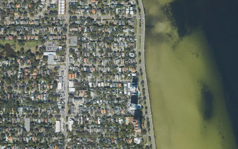
This guide covers Bayshore Beautiful in South Tampa. Use the city’s neighborhood map for an exact address; the waterfront map point is for orientation along public parkland.
Get to know Bayshore Beautiful
Bayshore Beautiful sits beside the Hillsborough Bay side of South Tampa. The waterfront is its most obvious introduction, but the neighborhood also extends inland through residential streets toward Himes Avenue. Tampa’s current association map uses West Julia Street, Gandy Boulevard, Bayshore Boulevard and Himes as orientation. Use that map for a particular address rather than assuming that every home marketed as “Bayshore” belongs to this named area. A good first visit combines a short waterfront segment with a specific neighborhood destination, leaving time to see how the inland streets meet the busier roads.
Choose a start and turnaround for a Bayshore walk, then choose an actual café, shop or appointment address for the second stop. Use marked crossings, check current conditions and allow for the journey back. A scenic line on a map is not a complete parking or transport plan.
Start with these local connections
- Hillsborough Bay waterfront
- Bayshore Greenway
- MacDill and Gandy connections
- Address-based resident resources
Choose a manageable part of the waterfront
The city’s Bayshore Greenway information describes a ten-foot-wide sidewalk running from the Platt Street area south to Gandy Boulevard. For this neighborhood, start by choosing a shorter section instead of making the whole waterfront your default outing. Benches, drinking-water points, bicycle parking and fitness stations appear along the wider trail, while their exact locations matter when travelling with children or planning exercise. The city also identifies an on-road northbound bike lane between Rome Avenue and Gandy. That road lane and the shared sidewalk are different spaces; choose the route appropriate to your activity and follow current signs.
Think about the approach as well as the view
Bayshore Boulevard separates the residential side from the waterside route. Pick a marked crossing and pay attention to the actual traffic arrangement before starting, rather than crossing wherever a map pin happens to fall. The city’s trail page lists parking at Fred Ball Park and Ballast Point Park, both separate destinations that require their own approach. Our orientation marker identifies a City-owned Bayshore Linear Park segment between El Prado and Wallcraft; it is not an entrance or parking-space marker. For a bus journey, use HART’s current planner with the exact starting point and destination and check the return trip.
Connect the waterfront with an ordinary day
MacDill Avenue and Gandy Boulevard are useful names when planning inland journeys, but nearby on a map can still mean a different driving route or crossing. Choose the particular store, restaurant or service you want before deciding to combine it with a walk. This also gives residents a practical way to compare locations: try the trip at the time you would normally make it, including any school pickup or work commitment. Tampa’s neighborhood page links local road and utility projects. Open the current project record for your street if works could affect access; a listed project is not proof of completion.
Keep schools and programs tied to the right address
For a move, start with the district-linked neighborhood school locator and the full home address. A Bayshore Beautiful label or a nearby school building does not establish the assignment for every property. Tampa’s neighborhood guide provides an address-based route to city services and council information. For family activities, follow the city youth-sports or recreation catalog and confirm the actual site, age group and current registration method. A neighborhood association, city recreation program and independent youth league serve different purposes. Let each organization answer the question it actually controls.
Neighborhood questions
Is the whole Bayshore Greenway inside Bayshore Beautiful?
No. The trail extends beyond this named neighborhood. Use the city trail information for the route and the neighborhood map for an address.
Does the orientation pin show where to park?
No. It identifies a public park segment. Check the city’s listed parking locations, current signs and your approach separately.
Which schools serve a Bayshore Beautiful home?
Use the district-linked locator with the complete address and relevant school year, then confirm with the district.
Schools, civic contacts & everyday resources
Use your full street address for school and electoral questions. A city name, neighborhood label or nearby landmark does not establish the assignment for every home.
Official resource paths reviewed November 10, 2026. No household school or representative assignment is asserted here.
Find your bearings
Bayshore Linear Park — El Prado to Wallcraft segment is the orientation point on this map. The marker identifies one place; it does not draw the neighborhood, school zone or property boundary.
Use signed public access and current trail conditions; no water access,parking or neighborhood-boundary claim.
Show the orientation map
Open a larger map ↗ · Official location source ↗ · Map data © OpenStreetMap contributors
Local information reviewed 2026-11-10. Photograph date and rights are recorded separately.
Useful reading
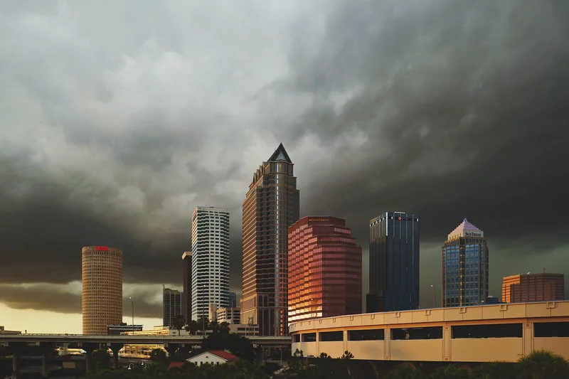
Getting around Tampa Bay: plan the actual journey
Match your destination to the right transport system and check both directions before committing to a day out.
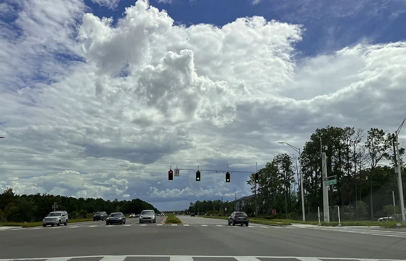
Choosing a Tampa Bay neighborhood: questions a listing cannot answer
Separate the place name from the address, then compare the everyday journeys and services that matter to you.
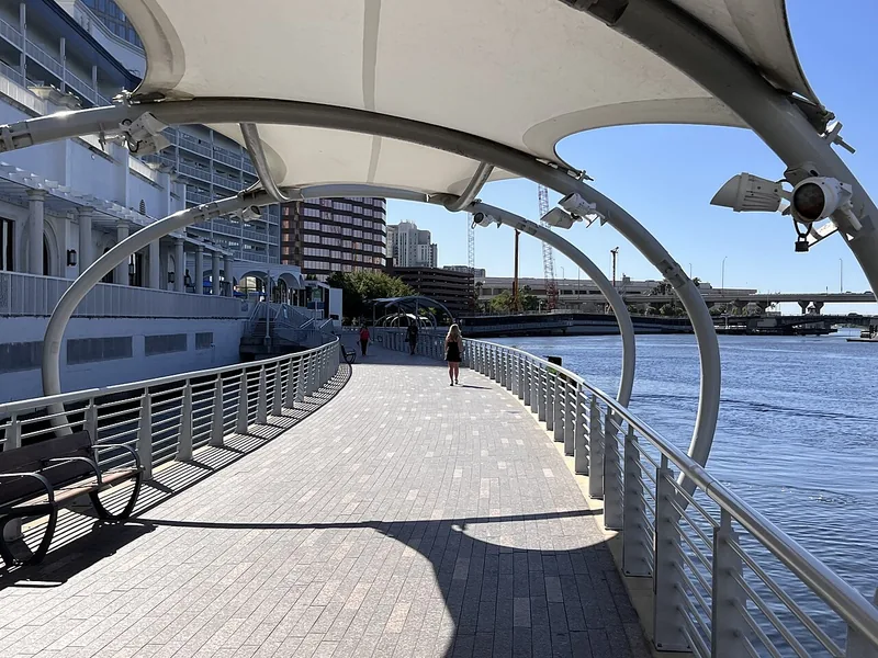
A better first day along Tampa’s Riverwalk
Choose a manageable stretch, connect the waterfront to nearby stops, and leave room for weather and the return trip.
Local sources & practical next steps
- City of Tampa — Bayshore Beautiful ↗
- City of Tampa — Neighborhood GIS ↗
- City of Tampa — Bayshore Greenway ↗
- City of Tampa — Park polygons ↗
- HART — Current trip-planning tools ↗
- City of Tampa — Neighborhood services guide ↗
- HCPS — District school locator link ↗
- City of Tampa — Youth leagues ↗
- Official local information ↗
- Find related places and mapped areas
- Explore Hillsborough event calendars
Use current city, county and operator information for an exact address, opening hours, service access and event details.