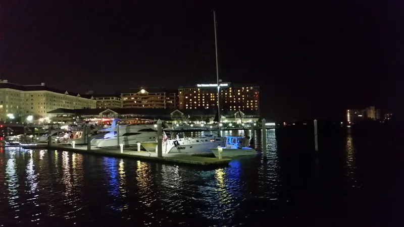
This edition follows the named Harbour Island record in Tampa’s official neighborhood map. Association, property, historic, school and administrative boundaries can differ; use an address-specific source for the question involved.
Get to know Harbour Island
Harbour Island lies across Garrison Channel from downtown Tampa. It is a named neighborhood in the city’s association map, with bridge connections that make the precise approach important even for a short journey. The waterfront combines residences, visitor destinations and business premises rather than forming one public park. A useful visit therefore starts with an actual address: decide which side of the island you need, how you will cross the channel and where you are permitted to enter or leave a vehicle.
Use Beneficial Drive Bridge as an orientation reference for the eastern downtown approach, then continue to a confirmed business or appointment address. It is a bridge-location marker, not a place to stop a car or assemble a group. Check the return route and any current event or traffic restrictions.
Start with these local connections
- Seddon Island and port history
- Garrison Channel bridge approaches
- Public routes and private amenities
Look beyond the contemporary waterfront
The city’s history of Tampa’s mayors connects early twentieth-century channel improvements with the creation of Seddon Island for phosphate activity. Seddon Island is the earlier name associated with today’s Harbour Island. That port history makes the modern residential and visitor setting more interesting: the channel was part of working infrastructure before it became the backdrop for a waterfront outing. Use historical maps and descriptions to understand that change without treating former industrial access or old dock arrangements as current visitor routes.
Choose the bridge for the door you need
The municipal bridge inventory identifies Beneficial Drive Bridge and South Harbour Island Boulevard Bridge as separate crossings of Garrison Channel. The city’s 2025 Riverwalk feasibility study describes Beneficial Drive as one of the two links between Harbour Island and greater downtown. Those crossings do not lead to identical arrival points. Choose the destination first, then consider its entrance, crossing, parking or transit connection and the route back after a meal, meeting or evening event.
Follow marked pedestrian approaches and current signs. A short crossing can still be affected by weather, traffic management or an event. The study’s discussion of a possible Riverwalk connection is planning information; it should not be treated as confirmation that every proposed under-bridge or waterfront link has been built and opened.
A waterfront address is not a general access pass
Restaurants, hotel premises, residential buildings, docks and managed community spaces can each have different entry and parking rules. Use the business or property operator’s current instructions for the exact destination you intend to enter. A table booking does not establish access to neighboring residential amenities, and a visible waterside path is not enough to prove unrestricted passage. Stay with signed public routes and authorized customer or guest areas.
For a visit focused on the view, choose a lawful public approach and a clear turnaround before setting out. Do not depend on entering a residential gate, crossing a private marina or using a hotel facility without permission. Keeping the return journey simple is especially useful at night, when an unfamiliar waterside route can be harder to interpret.
Handle resident questions by the actual address
The city’s neighborhood map represents Harbour Island as an association area. That geography does not establish the obligations, membership or amenities of every condominium or residential association on the island. Ask the relevant management organization about a particular property, and use Tampa’s address-based neighborhood guide for city-service and civic questions. Families should use the district-linked school locator for the full home address and school year. No school assignment, private-access entitlement or program place follows merely from the Harbour Island name.
Neighborhood questions
Does the Riverwalk study prove a new connection is open?
No. A published feasibility study is not a verified construction or opening record. Use current city information and on-site signs.
Does visiting a waterfront business give access to residential amenities?
No such access is established here. Check the actual property or operator’s current rules.
Schools, civic contacts & everyday resources
Use your full street address for school and electoral questions. A city name, neighborhood label or nearby landmark does not establish the assignment for every home.
Official resource paths reviewed November 10, 2026. No household school or representative assignment is asserted here.
Find your bearings
Beneficial Drive Bridge is the orientation point on this map. The marker identifies one place; it does not draw the neighborhood, school zone or property boundary.
Bridge orientation only, not a stopping or parking point. Use marked sidewalks/approaches and check current restrictions; no private-island or dock access implied.
Show the orientation map
Open a larger map ↗ · Official location source ↗ · Map data © OpenStreetMap contributors
Local information reviewed 2026-11-13. Photograph date and rights are recorded separately.
Useful reading
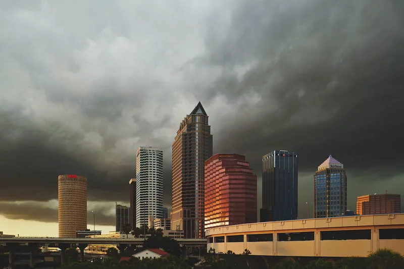
Getting around Tampa Bay: plan the actual journey
Match your destination to the right transport system and check both directions before committing to a day out.
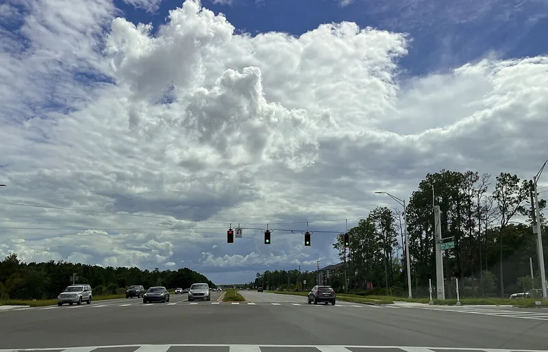
Choosing a Tampa Bay neighborhood: questions a listing cannot answer
Separate the place name from the address, then compare the everyday journeys and services that matter to you.
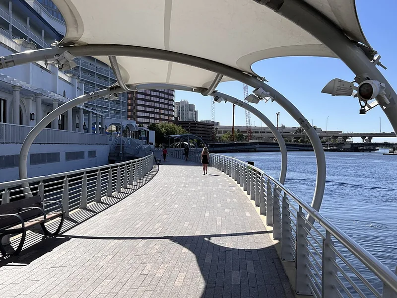
A better first day along Tampa’s Riverwalk
Choose a manageable stretch, connect the waterfront to nearby stops, and leave room for weather and the return trip.
Local sources & practical next steps
- City of Tampa — exact Harbour Island neighborhood record ↗
- City of Tampa — Beneficial Drive Bridge ↗
- City of Tampa — S Harbour Island Boulevard Bridge inventory ↗
- City of Tampa — Beneficial Drive Riverwalk feasibility study,2025 ↗
- City of Tampa — The Mayors of Tampa,2025edition ↗
- City of Tampa — Neighborhood services by address ↗
- Official local information ↗
- Find related places and mapped areas
- Explore Hillsborough event calendars
Use current city, county and operator information for an exact address, opening hours, service access and event details.