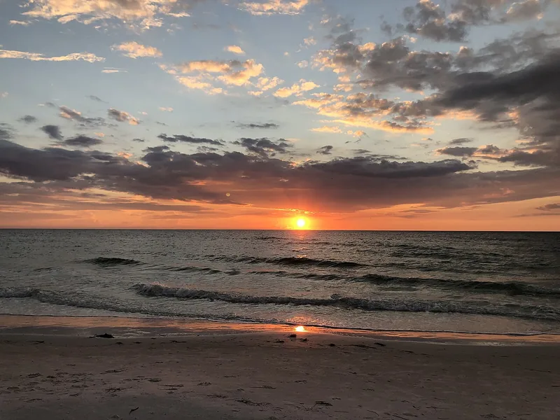
Get to know Clearwater Beach
Clearwater Beach is the Gulf-side beach community within Clearwater, rather than a separate incorporated city. Its best-known destinations are close together around Pier 60, but a useful outing still starts with a specific access point. Beach Walk runs south of the pier and provides a paved promenade alongside the shore. A swim, a promenade walk and an evening around the park need different equipment and timing. Choose the activity first, then decide how to arrive, where to meet and how everyone will return.
For a simple introduction, locate Pier 60 Park at 370 Mandalay Avenue and choose a manageable section of Beach Walk to the south. Set a meeting point before anyone heads onto the sand. If sunset is the main reason for visiting, check the current parking or transit options and plan the trip home as carefully as arrival.
Start with these local connections
- Beach Walk
- Pier 60 area
- Current beach and parking information
Use the park and promenade differently
The city lists paved paths, a playground, picnic tables and restrooms at Pier 60 Park. Beach Walk supplies a different experience: a beachside route for strolling and reaching nearby destinations. These are useful anchors when members of a group want different activities. Confirm which amenities matter to you rather than assuming that every access point has the same facilities. The park, beach and fishing pier also have their own operating arrangements. Check the exact facility information before planning a late visit or bringing fishing equipment.
Account for a limited repair area
The city’s Pier 60 Park page, checked November 10, 2026, reported sidewalk repairs with portions of sidewalk closed off. It specifically said the pier, beach and park would remain accessible during the repairs. This is a reason to allow for a changed walking route, not to cancel a beach visit based on a blanket closure claim. Open the live notice again before departure, especially if a stroller or mobility device makes the route important. Separately, the parks department’s beach-rules page says the pier’s T-shaped end remains closed, while the bait house and fishing area leading to it are open. Read both notices before choosing your route.
Choose transport before the busiest part of the outing
The city’s interactive beach parking map helps identify a suitable lot or garage before you reach the beach. Save an alternative in case your first choice is full, and check posted payment and time rules at the actual space. PSTA lists separate Jolley Trolley North Beach and South Beach routes, so confirm the route, stop and current timetable if using transit. For a beach day, follow current posted water conditions and lifeguard guidance. Neither a familiar photograph nor a previous visit confirms today’s swimming conditions or access arrangement.
Neighborhood questions
Does a Pier 60 sidewalk notice mean the beach is closed?
The city park notice described partial sidewalk work with pier, beach and park access maintained. A separate parks notice still closes the T-shaped pier end. Check both live notices before a pier visit.
Is Beach Walk north or south of Pier 60?
The city locates Beach Walk south of Pier 60. Choose your destination and access point before setting the walking route.
Schools, civic contacts & everyday resources
Use your full street address for school and electoral questions. A city name, neighborhood label or nearby landmark does not establish the assignment for every home.
Official resource paths reviewed November 10, 2026. No household school or representative assignment is asserted here.
Local information reviewed 2026-11-10. Photograph date and rights are recorded separately.
Useful reading
Clearwater Beach without the last-minute scramble
Start with access and transport, check current beach updates, and make the return trip part of the plan.
Getting around Tampa Bay: plan the actual journey
Match your destination to the right transport system and check both directions before committing to a day out.
Local sources & practical next steps
- City Clearwater Beach visitor information ↗
- Pier 60 Park current access notice ↗
- City interactive beach parking map ↗
- PSTA current trolley route listings ↗
- Clearwater Parks beach rules and specific Pier 60 end-closure notice ↗
Use current city, county and operator information for an exact address, opening hours, service access and event details.