Ybor City
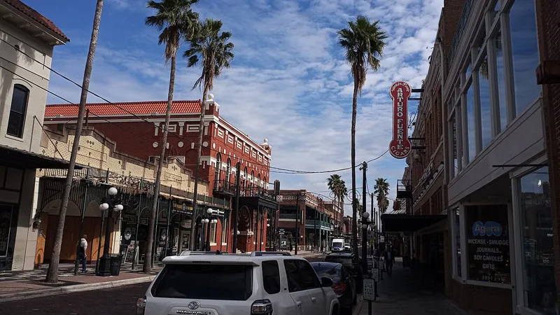
Use Seventh Avenue as one starting point, then decide whether your visit is about history, dining or an evening program.
Get to know local downtowns, waterfront business clusters and commercial corridors.
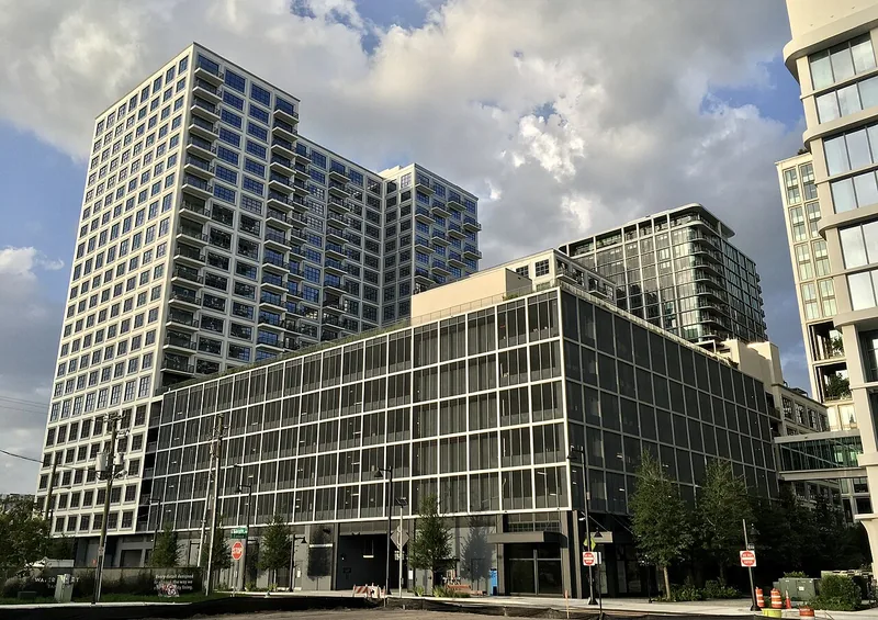
Use Seventh Avenue as one starting point, then decide whether your visit is about history, dining or an evening program.
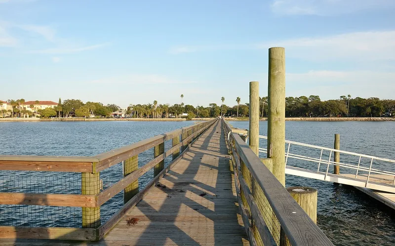
Dunedin combines a downtown crossed by the Pinellas Trail with waterfront parks and a recovering municipal marina. Keep a downtown walk separate from assumptions about boat-ramp, pier or dock access.
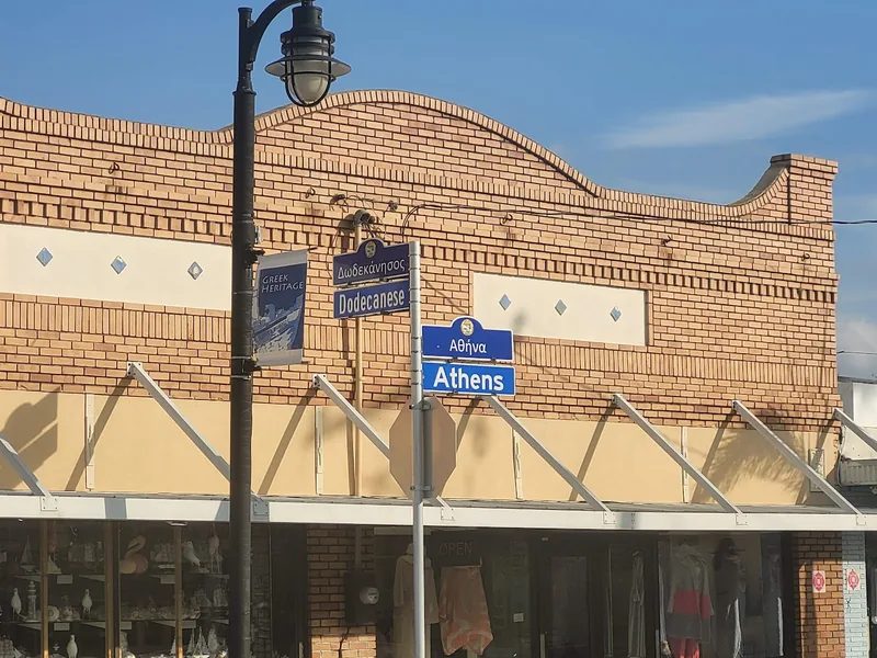
Tarpon Springs has several distinct destinations: the Sponge Docks, historic downtown and Spring Bayou. Build a visit around one cluster, then add another with a deliberate route and time allowance.
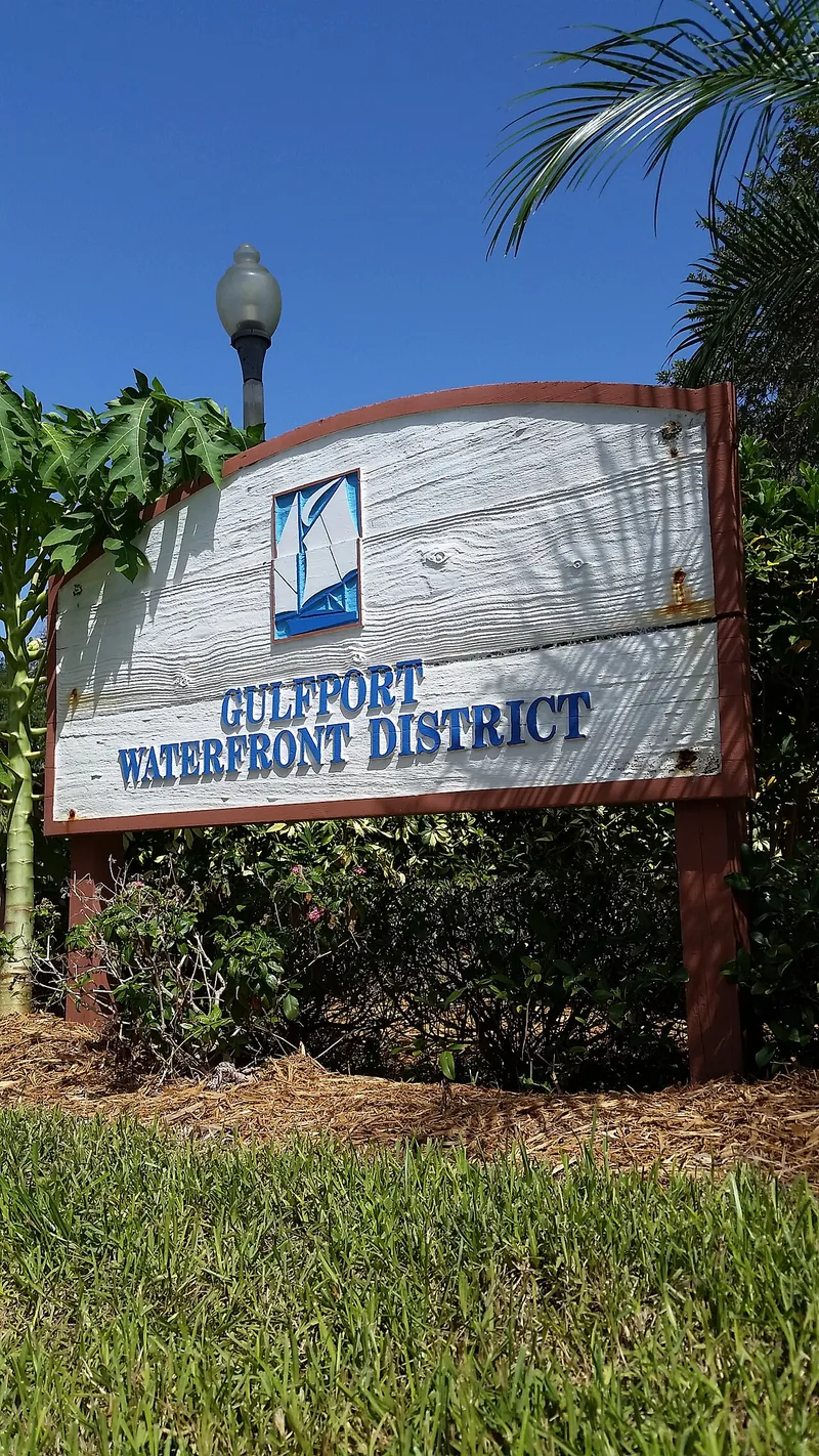
Gulfport’s Boca Ciega Bay waterfront, Beach Boulevard and 49th Street area offer different ways to spend time locally. Parks and the city’s recreation and cultural calendars provide useful starting points.
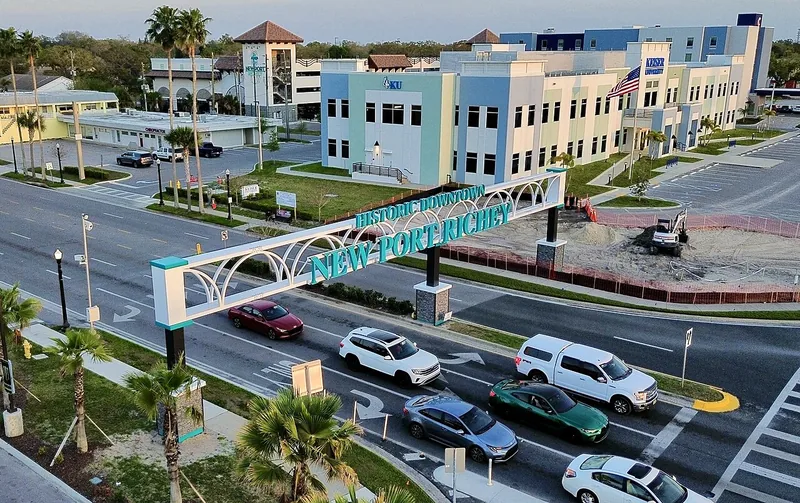
New Port Richey’s identity centers on its historic downtown, Main Street and the Pithlachascotee River. Sims Park, cultural venues and independent businesses are destinations within the city itself.
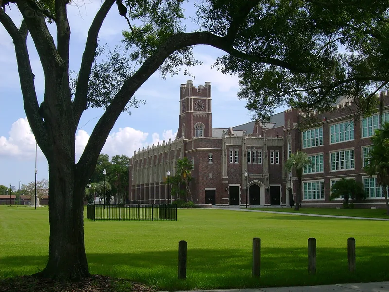
Keep the residential neighborhood, historic-designation boundaries and the Hyde Park Village commercial destination distinct.
Seminole Heights is a broader place identity with several neighborhood associations.
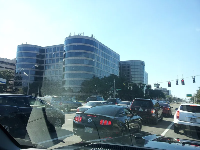
Westshore is a major named business district in Tampa’s planning framework.
72 results
4th Street is a named business-association area in St. Petersburg’s official city GIS. The map shows the recorded commercial area within the larger city.
Official local source ↗56th Street is one of the corridors identified for multimodal improvements in Temple Terrace’s comprehensive plan.
Official local source ↗Airport is a named business-association area in St. Petersburg’s official city GIS. The map shows the recorded commercial area within the larger city.
Official local source ↗Beach Drive is a named business-association area in St. Petersburg’s official city GIS. The map shows the recorded commercial area within the larger city.
Official local source ↗Brandon Main Street appears in Hillsborough County’s adopted plan, overlay or special-district mapping.
Official local source ↗Bruce B. Downs Boulevard at SR 56 is a named corridor segment in Pasco’s transportation program. It serves the Wesley Chapel area.
Official local source ↗Busch Boulevard / Bullard Parkway / Temple Terrace Highway is one of the corridors identified for multimodal improvements in Temple Terrace’s comprehensive plan.
Official local source ↗Central Arts is a named business-association area in St. Petersburg’s official city GIS. The map shows the recorded commercial area within the larger city.
Official local source ↗Central Ave Council is a named business-association area in St. Petersburg’s official city GIS. The map shows the recorded commercial area within the larger city.
Official local source ↗Downtown Tampa’s central business district is a named city special district.
Official local source ↗Central Park CRA is a community redevelopment area shown in Tampa’s official planning GIS. The CRA boundary identifies the area used for redevelopment planning and public investment.
Official local source ↗Channel District CRA is a community redevelopment area shown in Tampa’s official planning GIS. The CRA boundary identifies the area used for redevelopment planning and public investment.
Official local source ↗Citrus Park Village appears in Hillsborough County’s adopted plan, overlay or special-district mapping.
Official local source ↗US 19 is a major Clearwater commercial corridor with separate planning subdistricts.
Official local source ↗Corey Avenue is a St. Pete Beach commercial area explicitly addressed in the city’s parking plan.
Official local source ↗Downtown Clearwater is the city’s redevelopment and civic center.
Official local source ↗Downtown Core CRA is a community redevelopment area shown in Tampa’s official planning GIS. The CRA boundary identifies the area used for redevelopment planning and public investment.
Official local source ↗Downtown Dunedin’s Main Street and surrounding streets are documented by the local history museum’s walking-tour route.
Official local source ↗Clearwater’s Downtown Gateway vision covers a mixed-use area along Cleveland Street, Gulf to Bay Boulevard, Court Street and Missouri Avenue.
Official local source ↗Downtown Largo’s West Bay Drive corridor is a focus of the city’s comprehensive plan.
Official local source ↗New Port Richey identifies its historic downtown, Main Street and riverfront as defining city features.
Official local source ↗Downtown Non Core CRA is a community redevelopment area shown in Tampa’s official planning GIS. The CRA boundary identifies the area used for redevelopment planning and public investment.
Official local source ↗Downtown Plant City is the established city-center area referenced by its comprehensive plan.
Official local source ↗Downtown Tampa is a named commercial area or development represented in Tampa’s official city map. It can overlap nearby residential association areas.
Official local source ↗Main Street Zephyrhills identifies historic 5th Avenue and nearby streets as its downtown focus.
Official local source ↗Dr. MLK (9th St) is a named business-association area in St. Petersburg’s official city GIS. The map shows the recorded commercial area within the larger city.
Official local source ↗Drew Park CRA is a community redevelopment area shown in Tampa’s official planning GIS. The CRA boundary identifies the area used for redevelopment planning and public investment.
Official local source ↗East Side Commercial is a named commercial area or development represented in Tampa’s official city map. It can overlap nearby residential association areas.
Official local source ↗East Tampa CRA is a community redevelopment area shown in Tampa’s official planning GIS. The CRA boundary identifies the area used for redevelopment planning and public investment.
Official local source ↗Fletcher Avenue is one of the corridors identified for multimodal improvements in Temple Terrace’s comprehensive plan.
Official local source ↗Fowler Avenue is one of the corridors identified for multimodal improvements in Temple Terrace’s comprehensive plan.
Official local source ↗Fusion 49th is a named business-association area in St. Petersburg’s official city GIS. The map shows the recorded commercial area within the larger city.
Official local source ↗Grand Central is a named business-association area in St. Petersburg’s official city GIS. The map shows the recorded commercial area within the larger city.
Official local source ↗Gulfport’s waterfront redevelopment plan centers on Beach Boulevard and Shore Boulevard.
Official local source ↗Home Improvement Row is a named business-association area in St. Petersburg’s official city GIS. The map shows the recorded commercial area within the larger city.
Official local source ↗Hyde Park Village is a named commercial area or development represented in Tampa’s official city map. It can overlap nearby residential association areas.
Official local source ↗Innovation is a named business-association area in St. Petersburg’s official city GIS. The map shows the recorded commercial area within the larger city.
Official local source ↗John’s Pass Village is the commercial fishing and visitor-business area north of the John’s Pass Bridge.
Official local source ↗Kennedy Boulevard has a named corridor overlay in Tampa’s planning framework.
Official local source ↗Lutz Downtown Center appears in Hillsborough County’s adopted plan, overlay or special-district mapping.
Official local source ↗Plant City’s comprehensive plan identifies Midtown just south of Downtown as a redevelopment area.
Official local source ↗Midtown Tampa is a named commercial area or development represented in Tampa’s official city map. It can overlap nearby residential association areas.
Official local source ↗New Tampa has a named overlay in the city’s planning framework.
Official local source ↗North Dale Mabry Boulevard appears in Hillsborough County’s adopted plan, overlay or special-district mapping.
Official local source ↗North Greenwood has an adopted Clearwater redevelopment plan.
Official local source ↗Oldsmar’s Town Center is its designated community redevelopment area.
Official local source ↗New Port Richey’s city newsletter identifies the Palm District around west Main Street.
Official local source ↗Riverview Downtown District appears in Hillsborough County’s adopted plan, overlay or special-district mapping.
Official local source ↗Ruskin Town Center appears in Hillsborough County’s adopted plan, overlay or special-district mapping.
Official local source ↗Safety Harbor’s Main Street is an established setting for local shops, restaurants and professional services.
Official local source ↗Seminole Heights is a named special district in Tampa’s planning framework.
Official local source ↗Sixteenth Street S is a named business-association area in St. Petersburg’s official city GIS. The map shows the recorded commercial area within the larger city.
Official local source ↗Skyway Marina District is a named business-association area in St. Petersburg’s official city GIS. The map shows the recorded commercial area within the larger city.
Official local source ↗South Howard has a named commercial overlay in Tampa’s planning framework.
Official local source ↗SR 54 / SR 56 corridor is a named corridor in Pasco’s transportation program.
Official local source ↗SR 580 / Hillsborough Avenue appears in Hillsborough County’s adopted plan, overlay or special-district mapping.
Official local source ↗SR 60 / Brandon Boulevard appears in Hillsborough County’s adopted plan, overlay or special-district mapping.
Official local source ↗Tampa Heights Riverfront CRA is a community redevelopment area shown in Tampa’s official planning GIS. The CRA boundary identifies the area used for redevelopment planning and public investment.
Official local source ↗Tarpon Springs’ downtown redevelopment area is covered alongside the Sponge Docks in its Special Area Plan.
Official local source ↗The Sponge Docks is a distinct Tarpon Springs destination and planning area.
Official local source ↗Temple Terrace identifies its City Center as the focus of downtown redevelopment.
Official local source ↗The Deuces is a named business-association area in St. Petersburg’s official city GIS. The map shows the recorded commercial area within the larger city.
Official local source ↗The Edge is a named business-association area in St. Petersburg’s official city GIS. The map shows the recorded commercial area within the larger city.
Official local source ↗Thonotosassa Main Street appears in Hillsborough County’s adopted plan, overlay or special-district mapping.
Official local source ↗US 19 corridor is a named corridor in Pasco’s transportation program.
Official local source ↗Warehouse Arts District Assn (WADA) is a named business-association area in St. Petersburg’s official city GIS. The map shows the recorded commercial area within the larger city.
Official local source ↗West Central Village is a named business-association area in St. Petersburg’s official city GIS. The map shows the recorded commercial area within the larger city.
Official local source ↗West Tampa CRA is a community redevelopment area shown in Tampa’s official planning GIS. The CRA boundary identifies the area used for redevelopment planning and public investment.
Official local source ↗Westshore is a named commercial area or development represented in Tampa’s official city map. It can overlap nearby residential association areas.
Official local source ↗Westshore is a major named business district in Tampa’s planning framework.
Official local source ↗Ybor City 1 CRA is a community redevelopment area shown in Tampa’s official planning GIS. The CRA boundary identifies the area used for redevelopment planning and public investment.
Official local source ↗Ybor City 2 CRA is a community redevelopment area shown in Tampa’s official planning GIS. The CRA boundary identifies the area used for redevelopment planning and public investment.
Official local source ↗No matches. Try a broader search or reset the filters.