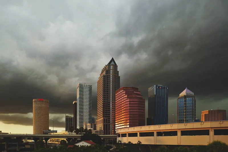
Get to know Tampa
Tampa is a city of distinct destinations rather than one continuous visitor district. Downtown’s riverfront, Ybor’s historic streets, Westshore’s employment and meeting destinations, and residential neighborhoods each offer a different starting point. Choose a specific place and purpose before combining them into a day.
For an introduction, build a short outing around the Downtown waterfront and one nearby destination. For an appointment, use the actual entrance and parking instructions. A useful Tampa plan accounts for distance, weather and the journey back instead of treating a shared city name as a promise that every stop is walkable.
Start with these local connections
- Downtown and the Riverwalk
- Westshore business area
- University-area destinations
Make the waterfront a specific plan
Curtis Hixon Waterfront Park links a broad lawn and riverfront setting with the Tampa Riverwalk. The city’s park page lists its address, amenities and contact routes. Treat the park, a museum visit and an event on the lawn as separate activities: opening arrangements, admission and reservations may belong to different operators.
Choose where you will enter and leave the Riverwalk, then identify a rest stop and the route back. For an organized program, open the individual event listing and confirm the date and ticket conditions. A busy public space can feel very different during a major event than on an ordinary weekday.
Match transport to the actual district
The TECO Line Streetcar connects Downtown, the Channel District and Ybor City. Use the operator’s current map and service information before relying on a connection. Its route is useful for those districts; it is not a citywide service to Westshore or every neighborhood.
If driving, use the City of Tampa Parking Division for municipal parking information and read the instructions at the actual space. The city identifies on-street parking areas in several central districts, but private facilities can have different rates, enforcement and payment systems. Keep the vehicle location and return journey clear.
Use the city as the starting point, then get local
For a neighborhood decision, compare the streets, services and journeys you would use during a normal week. Our neighborhood finder keeps association areas, residential communities and wider place names distinct. Use a current address lookup for schools and civic questions, especially when a postal Tampa address sits outside city limits.
For business, distinguish the City of Tampa purchasing system from county and federal buying. Our Business and Government Contracting desks connect those routes with practical preparation. For a service request, a public meeting or a recreation program, follow the responsible city or county office rather than assuming one tourism or business organization handles the matter.
Schools, civic contacts & everyday resources
Use your full street address for school and electoral questions. A city name, neighborhood label or nearby landmark does not establish the assignment for every home.
Official resource paths reviewed November 10, 2026. No household school or representative assignment is asserted here.
Find your bearings
Curtis Hixon Waterfront Park is the orientation point on this map. The marker identifies one place; it does not draw the neighborhood, school zone or property boundary.
A public riverfront park used here as a Downtown orientation point. Check its current official page and any individual event arrangements before visiting.
Show the orientation map
Open a larger map ↗ · Official location source ↗ · Map data © OpenStreetMap contributors
Local information reviewed 2026-11-10. Photograph date and rights are recorded separately.
Useful reading
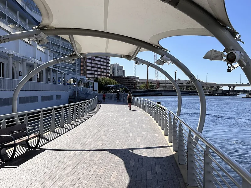
A better first day along Tampa’s Riverwalk
Choose a manageable stretch, connect the waterfront to nearby stops, and leave room for weather and the return trip.
Getting around Tampa Bay: plan the actual journey
Match your destination to the right transport system and check both directions before committing to a day out.
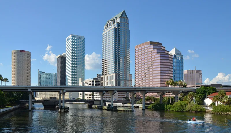
Selling to the City of Tampa: start with the right purchasing route
Use official solicitation and supplier instructions, prepare the right questions, and keep city opportunities separate from federal contracting.
Local sources & practical next steps
- City of Tampa — Official municipal services ↗
- Curtis Hixon Waterfront Park ↗
- TECO Line — How to ride ↗
- City of Tampa — On-street parking ↗
- Official local information ↗
- Find related places and mapped areas
- Explore Hillsborough event calendars
Use current city, county and operator information for an exact address, opening hours, service access and event details.